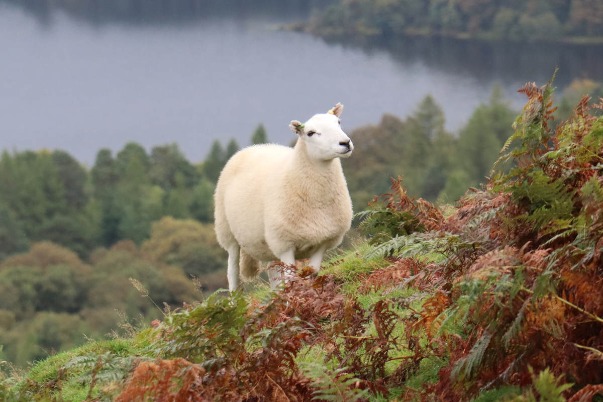
Cat Bells
All trips at this location:
| Distance | 6.74 km / 4.19 miles |
|---|---|
| Elevation gain | 387 m / 1270 ft |
| Duration | 3h40m |
| Moving | 1h45m |
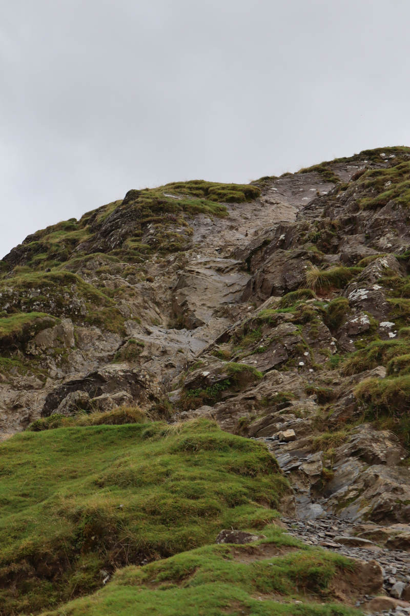
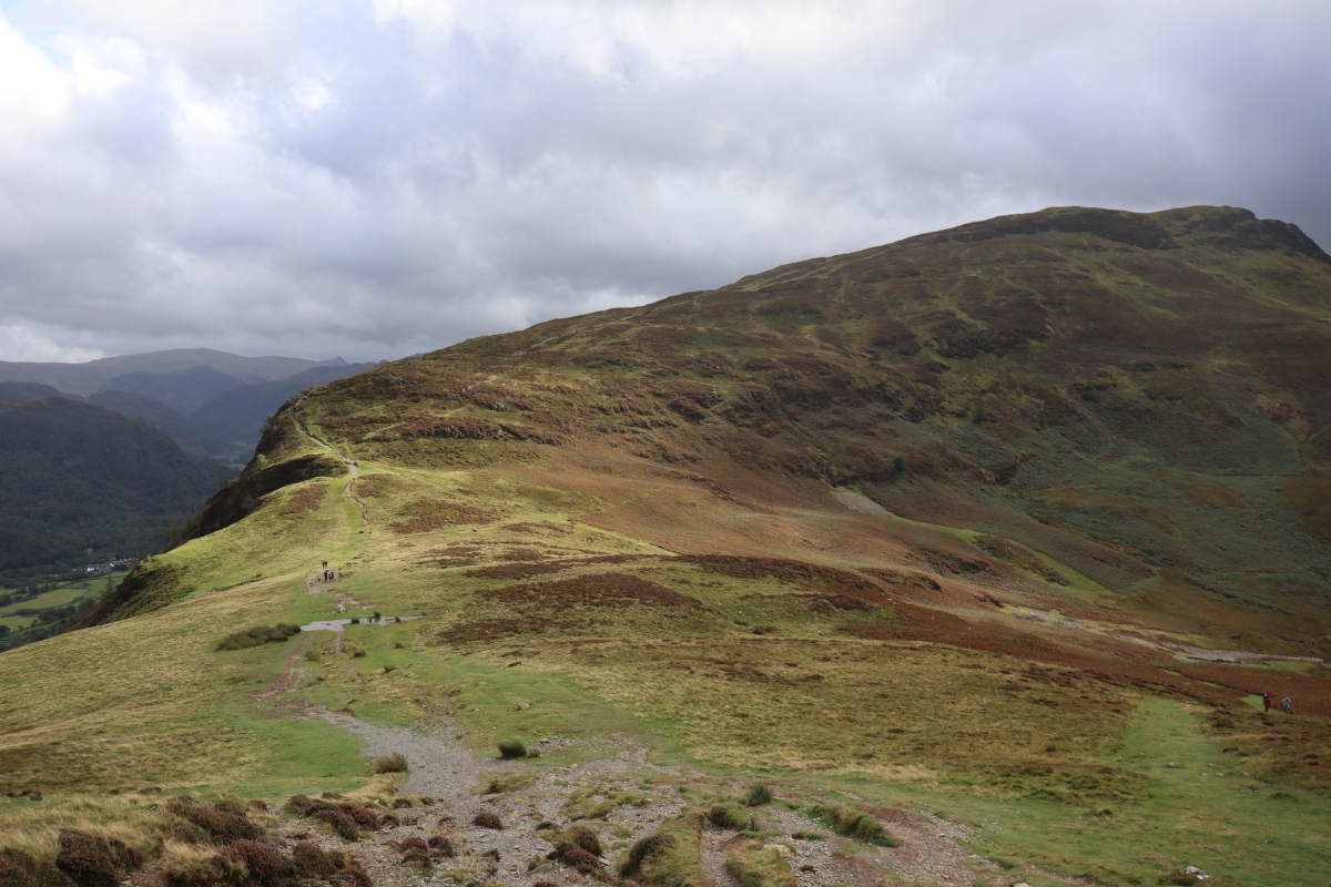
First leg of ascent §
The ascent begins straight away, with a gravel path the zig-zags its way upwards.

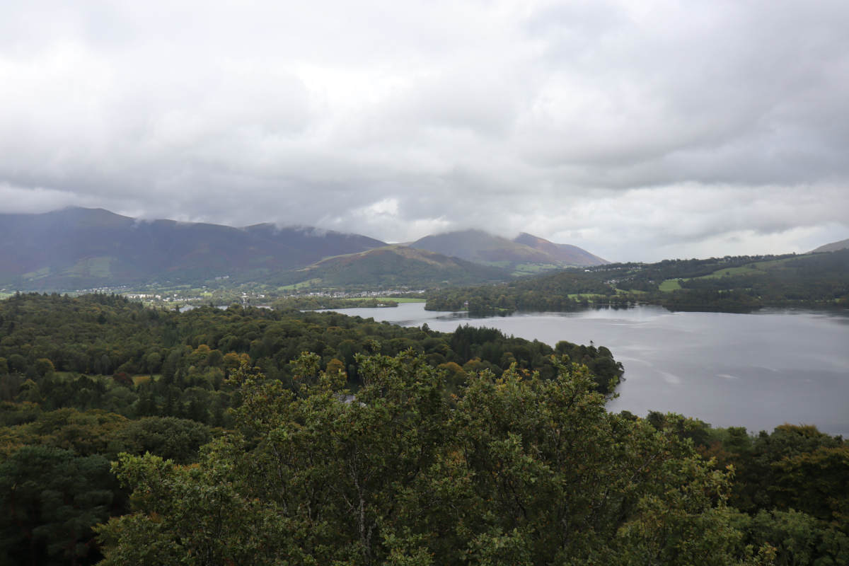
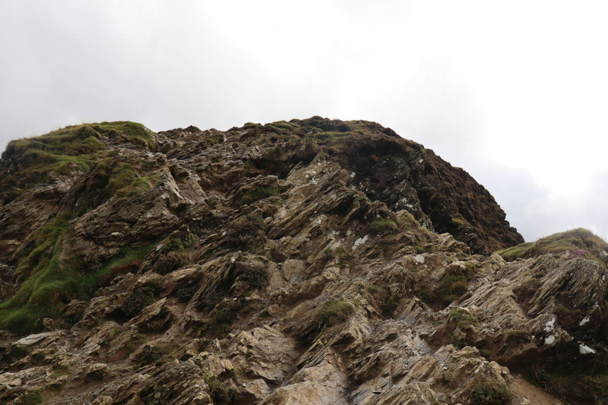
The first leg ends with a scramble. The rocks were wet and slippery from the rain, so some people turned back, but the views are still good even from this early point. We found the handholds were good enough to carry on up, so made our way up the rocks to the next leg.
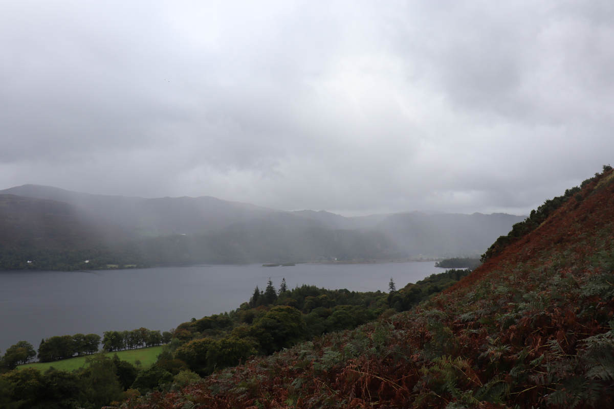
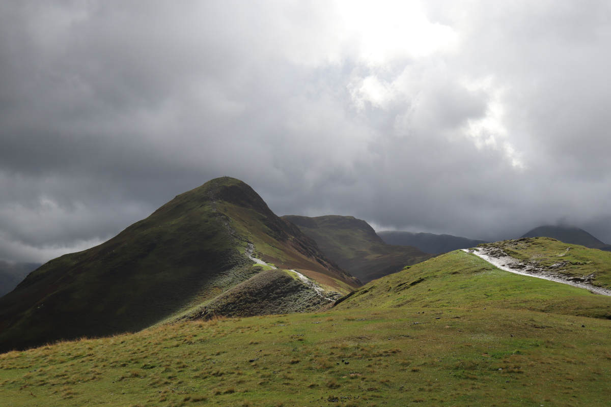
Second leg of ascent §
After the first scramble, the trail levels out and it’s easy going for a while.
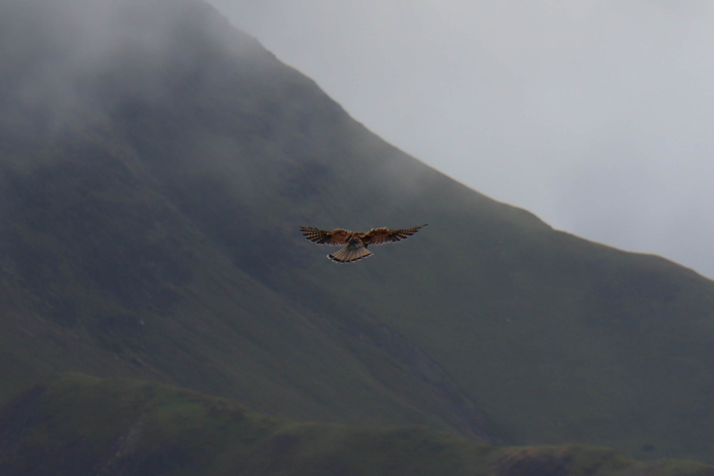
From here, it was high enough to be level with a kestrel. I had hoped to climb higher and get a photo of it from above, but the kestrel had moved on by the time I’d got up the second scramble.

As the easy-going path came to an end, the wind whipped up into quite something. The next scramble was due. Here the rocks were dryer. This scramble was no more difficult than the first, aside from being aware that it’s a much further fall if you slip to the side. It’s wide enough to just keep to the middle and feel relatively safe.
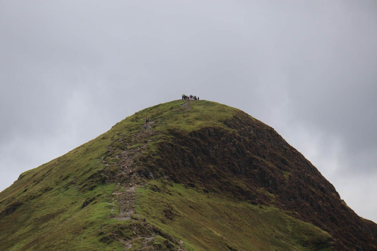
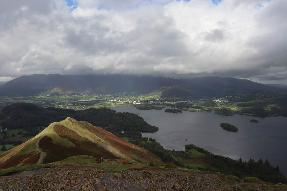
Summit §
If we thought it was windy before, we were mistaken. On top of Cat Bells the wind would trick you into thinking it was calm, and then an almighty southwesterly would rocket across. A woman’s had was whipped away, which I caught just before it vanished down the hillside and returned it to her.
Descent §
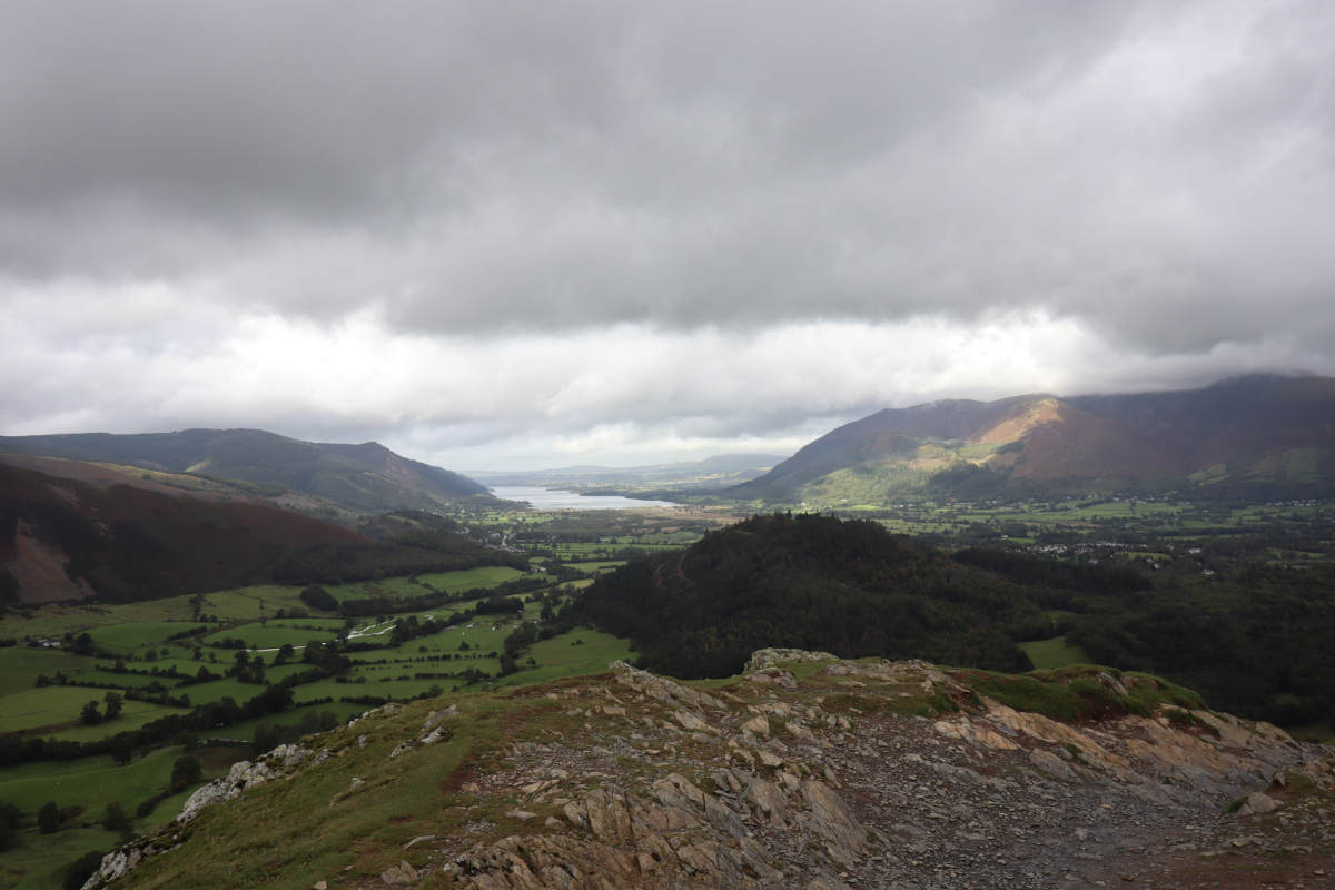
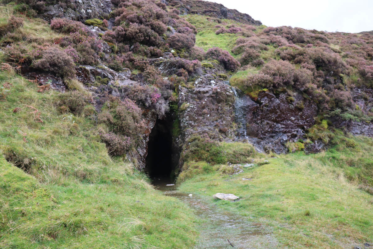
We planned to continue anti-clockwise, but noticed a path that lead to a distant cave, so popped over to explore. The cave appeared to be an old mine which, due to the recent heavy rain, had a stream of water gushing out. The water level inside the cave was just a bit too deep to walk through, so we could only peer in from the outside. Nearby were the remains of an old building, and a fenced off mine shaft.


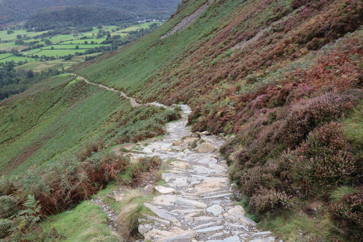
Returning from the cave, we made our way down the hillside. The path is made of stone steps all the way down, which zig-zag for a while before straightening out. At a junction near the bottom we turned left, then went down further and the path roughly followed the contour of the lower east side of Cat Balls back towards the car park.
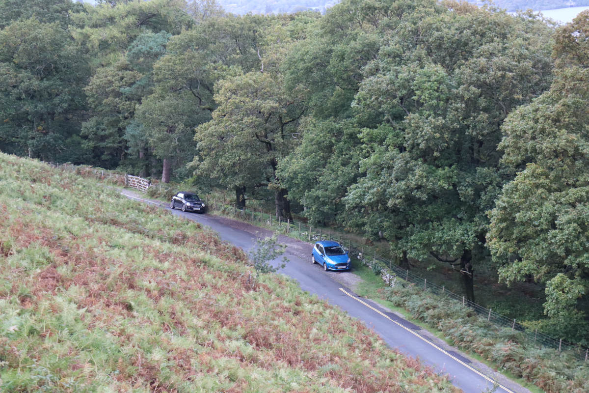
Car parks §
Room for parking cars near Cat Bells is scarce. Following the contour on the lower east side of Cat Bells, we could see several parking bays on the side of the lane. We had parked nearer the base of the trail so carried on all the way back to the northern most point of Cat Bells.
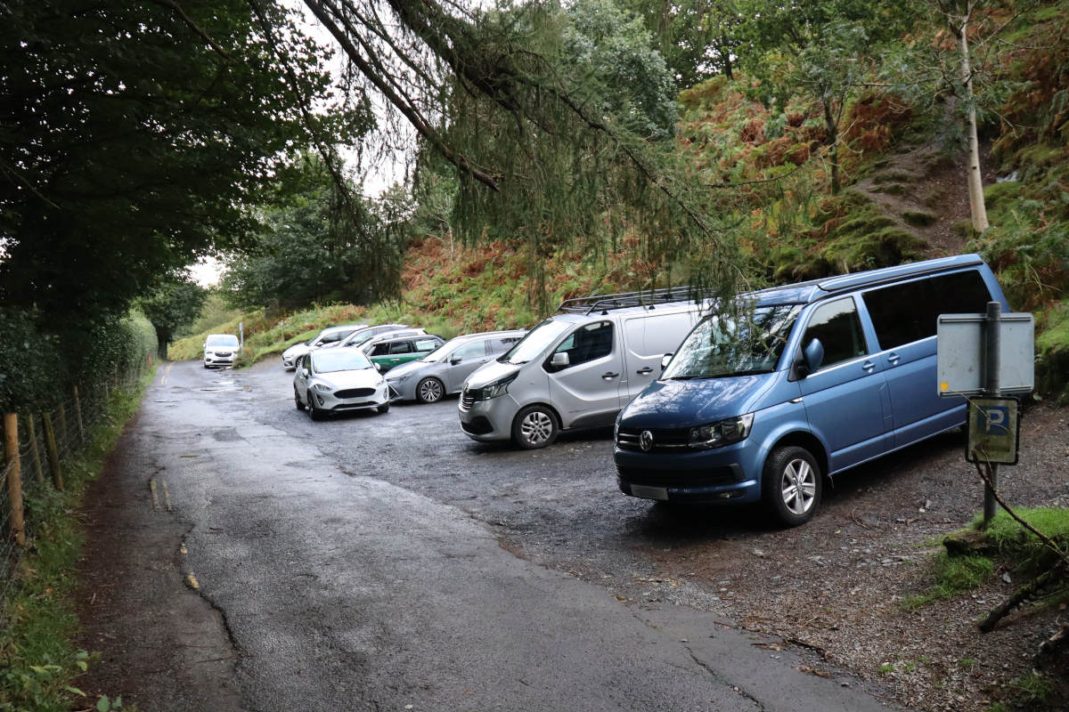
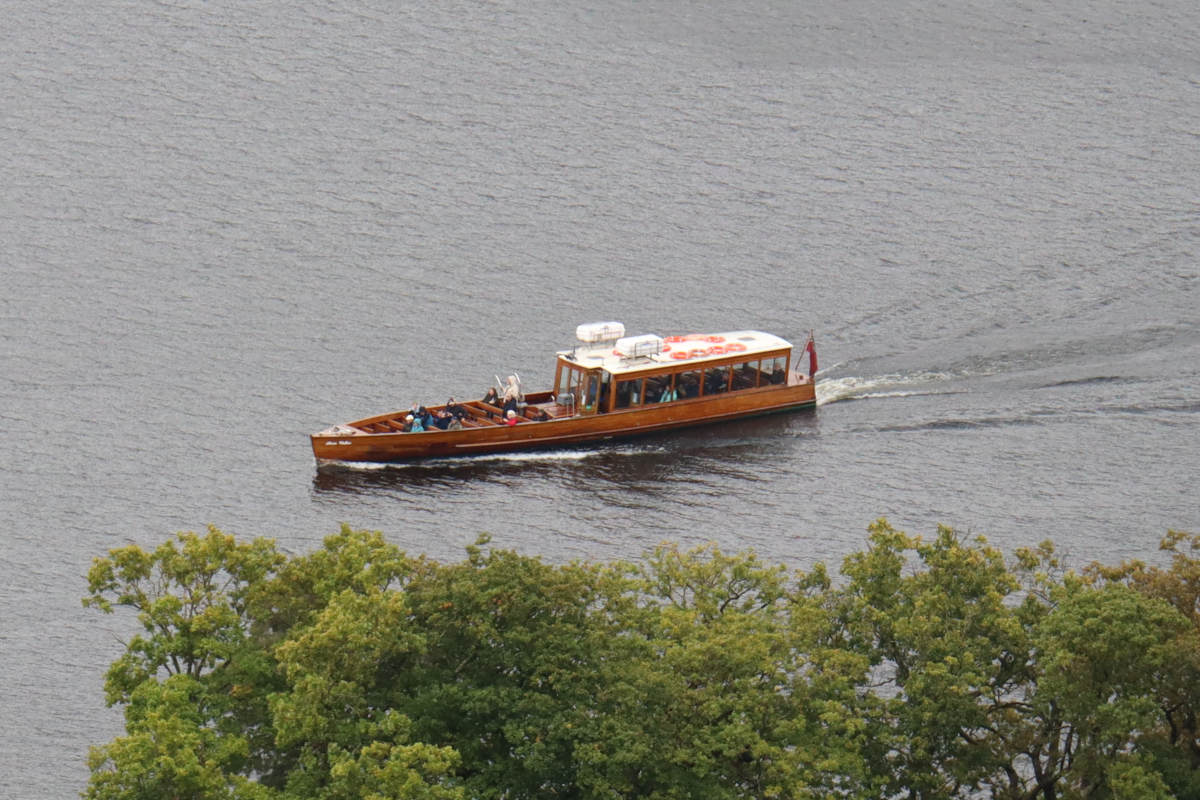
We were lucky to get a space. It had been raining all morning, but we decided to head to Cat Bells regardless, and got there shortly after lunch. After parking the sun came out, and as we got ready to go up many more cars arrived but were unable to park. Instead of driving we would have arrived by launch from Kewsick, but due to high water levels from the heavy rain there was no service to Cat Bells that day.