Ambleside to Windermere
All trips at this location:
- Stock Ghyll Force Loop
- Grasmere and Rydal Water Loop via Rydal Cave
- Aira Force Squirrel Hunt
- Cat Bells
- Ambleside to Windermere
| Distance | 17.4 km / 10.81 miles |
|---|---|
| Elevation gain | 684 m / 2244 ft |
| Duration | 7h |
| Moving | 4h |
Ascent to Wansfell Pike §
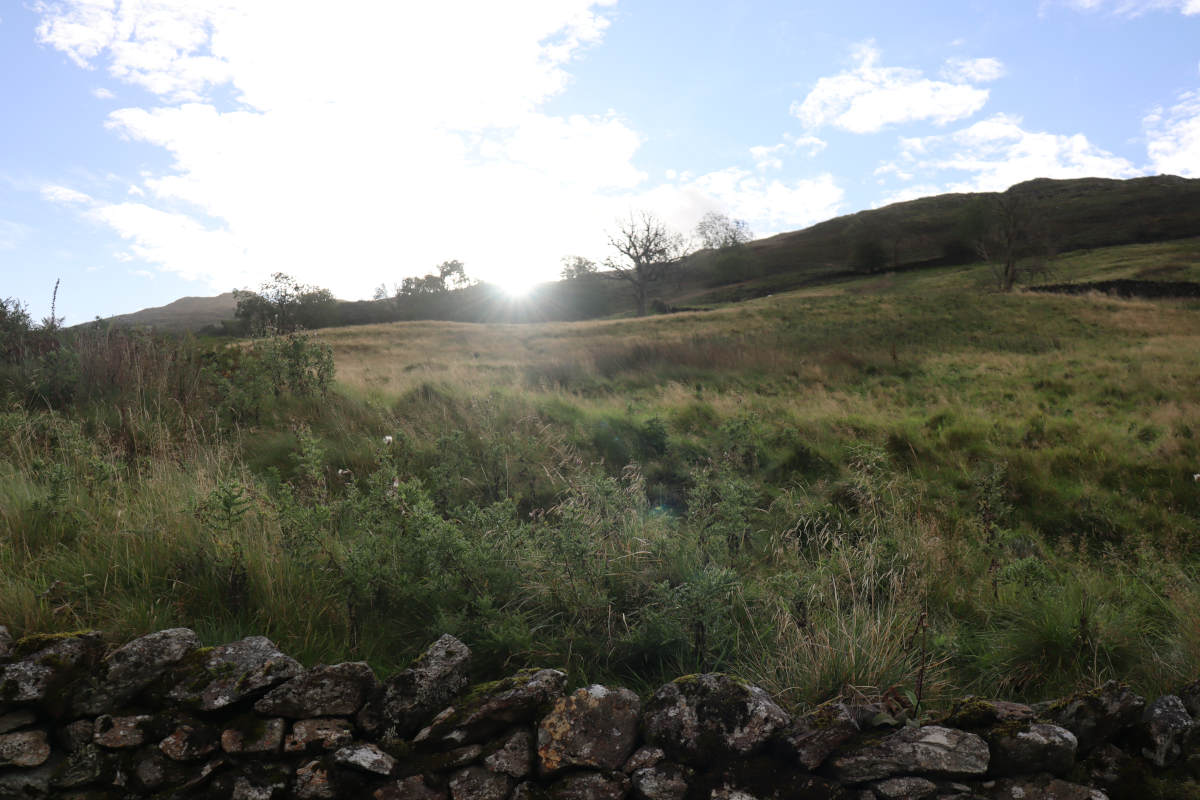
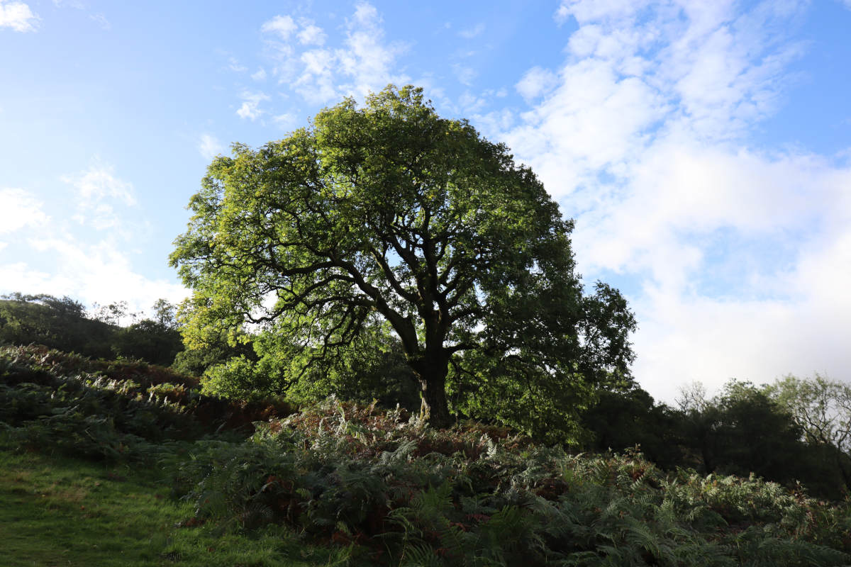
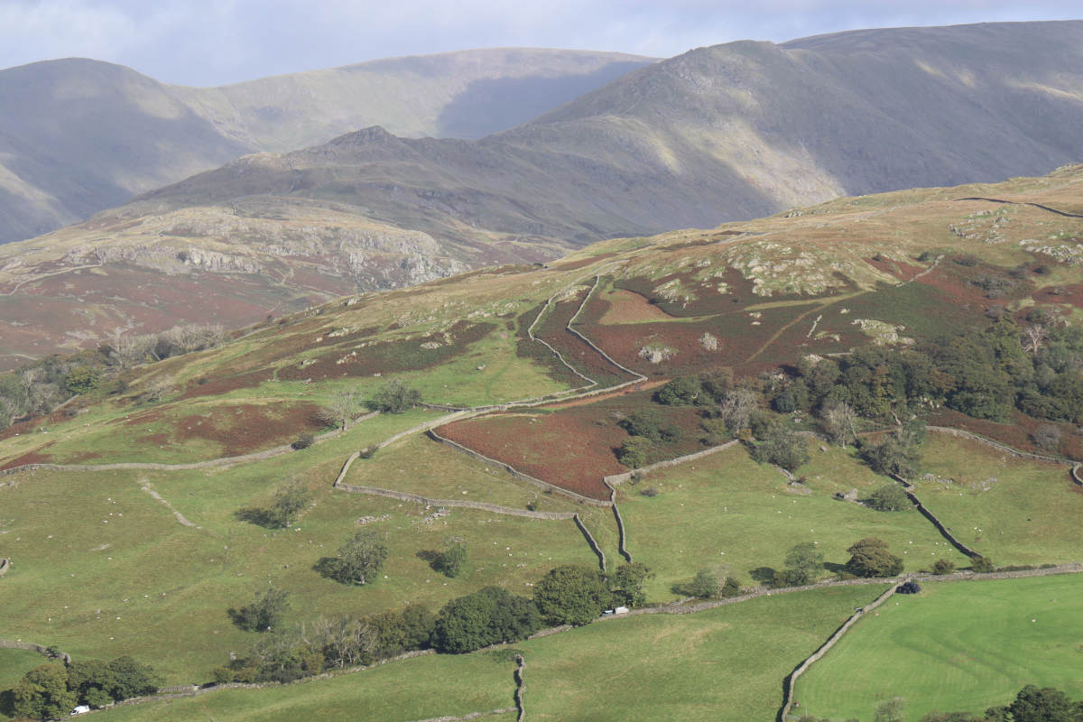
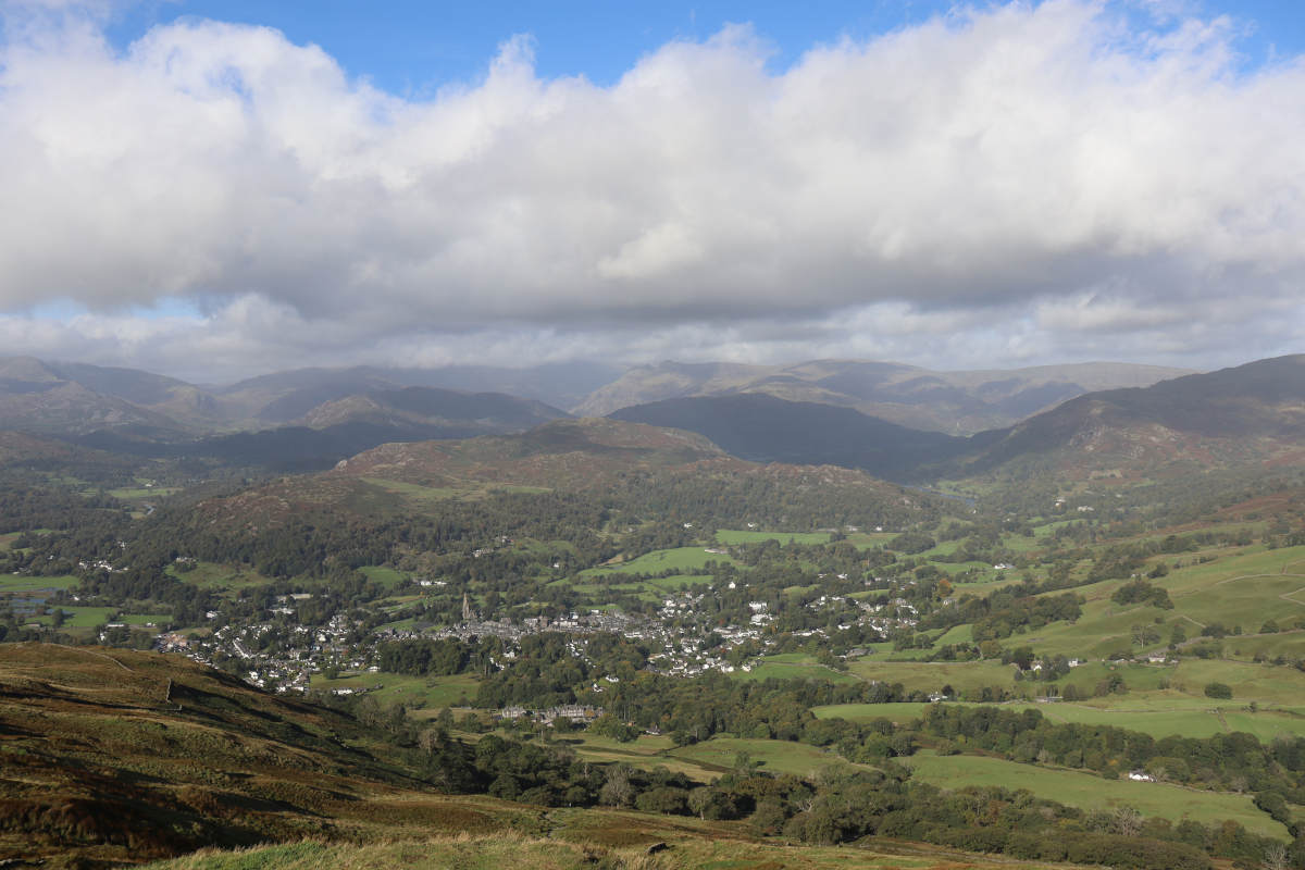
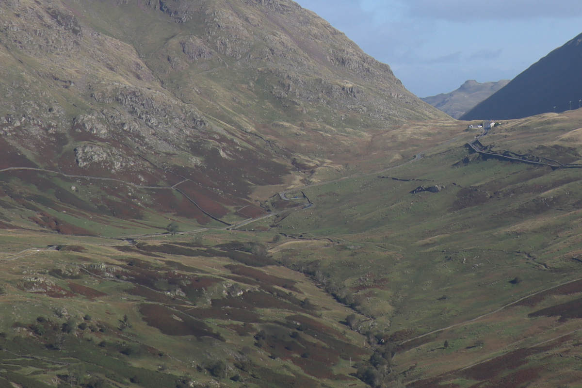
We set off from our cottage in Blue Hill Road at 8:50am. The road quickly turns into an old track with stone walls on either side. While it was technically after sunrise, and Ambleside itself was in sunlight, the lofty heights of Wansfell Pike cast our hillside into shade. This provided quite a stark contrast between the bright scenery and the dark vicinity.
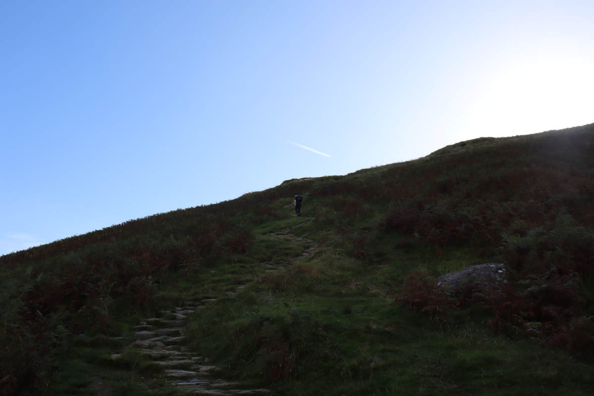
Leaving the track and going up the steps, progress becomes a little slower. The steps are well placed, and carry on all the way to the summit, but take a very direct route. The view only gets better as you ascend. Sunlight began to catch the tops of trees, but the sun itself was still well hidden.
Summit of Wansfell Pike §
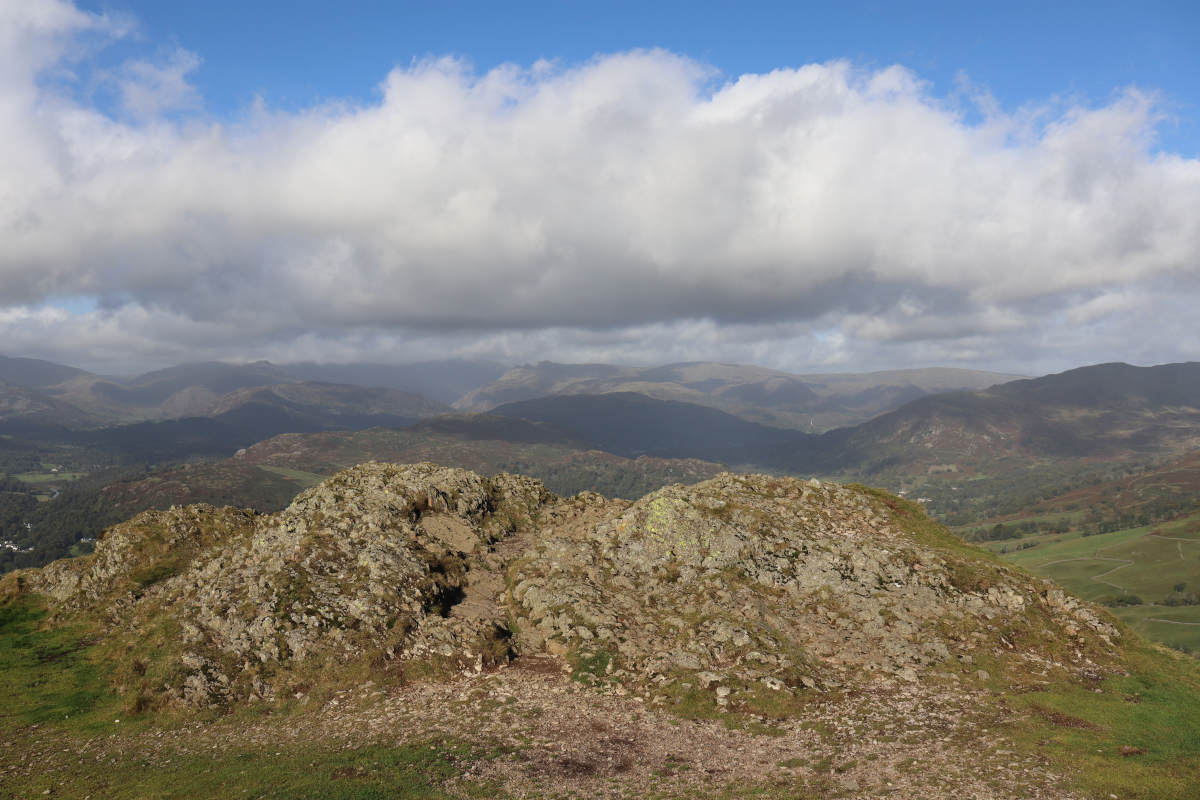
Near the summit there were a few switchbacks, and then suddenly we reached the top. It was apparent that the hill had been shielding us from the wind, as there was quite the breeze up there, so we put on another layer before taking in the view. There are several rocky patches, and it’s unclear exactly which one is the highest, but the one at the edge provides the best vantage point of Ambleside.
Descent to Troutbeck §
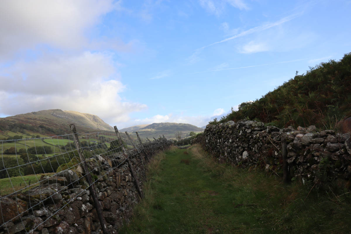
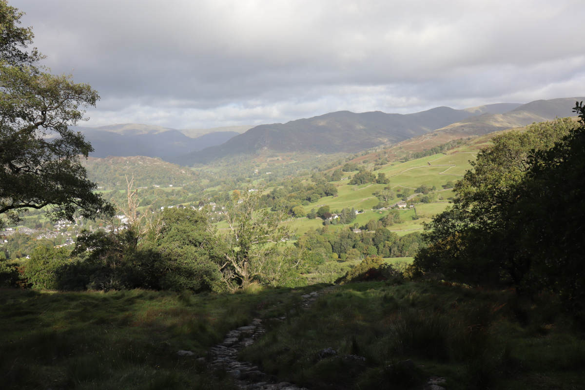
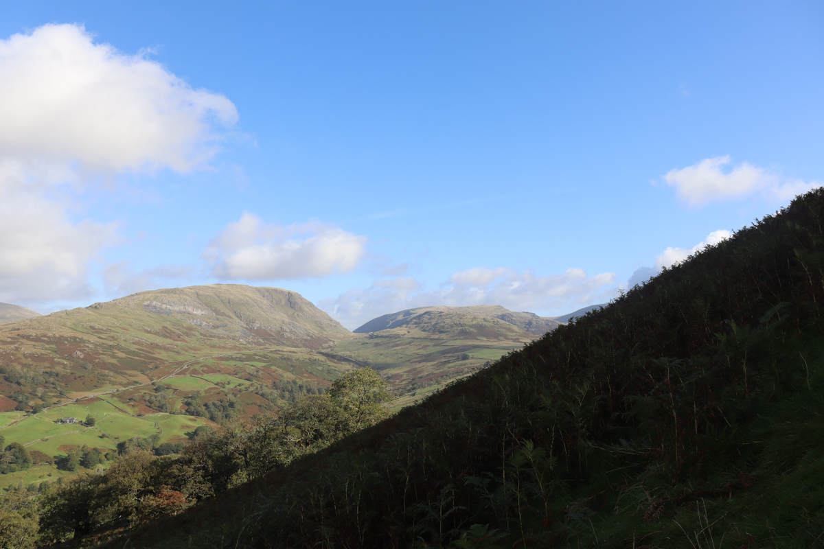
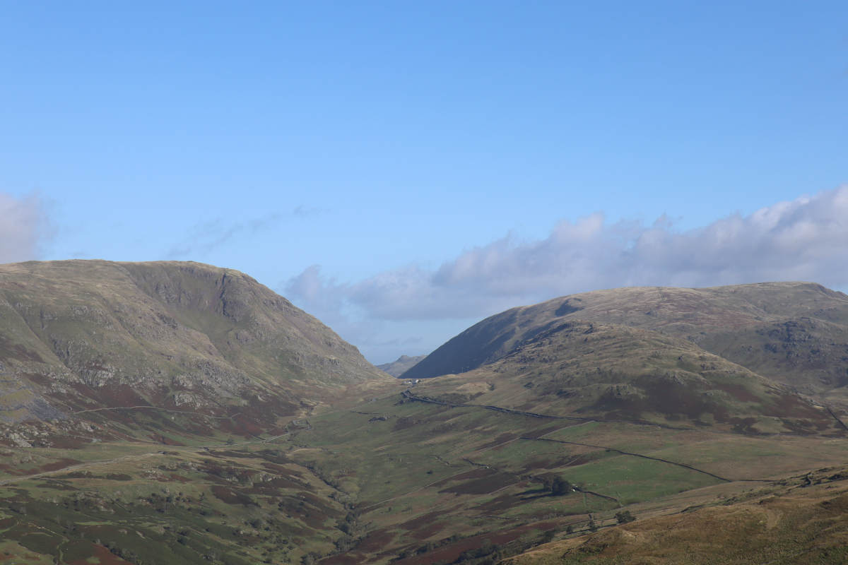
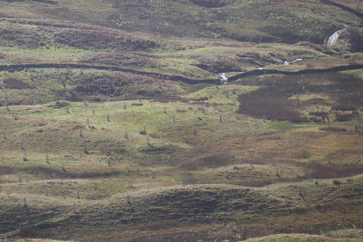
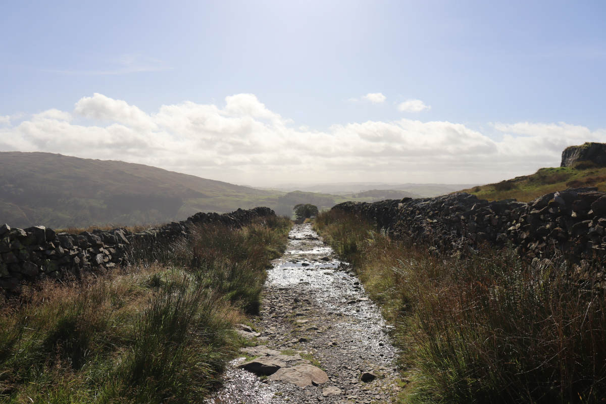
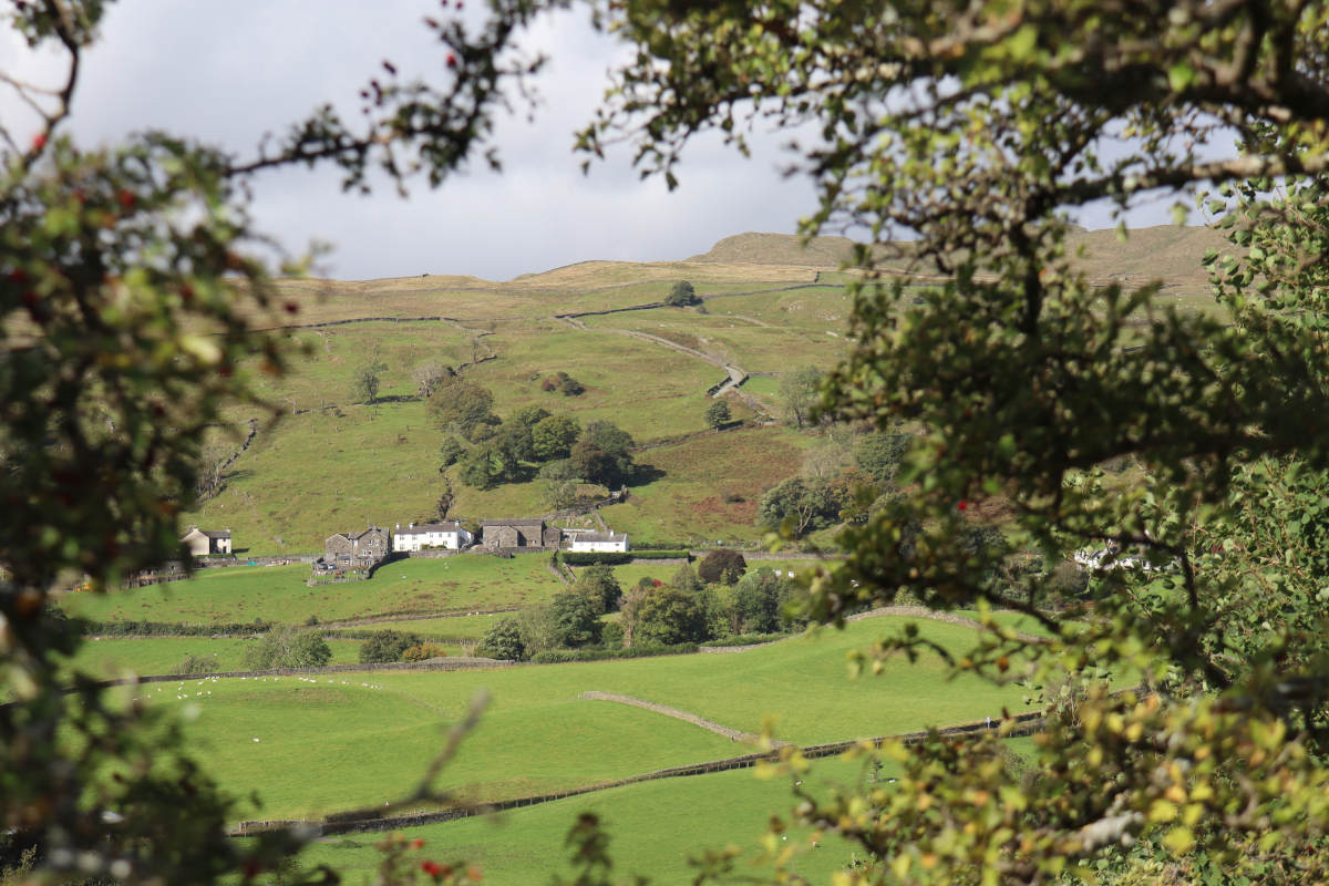
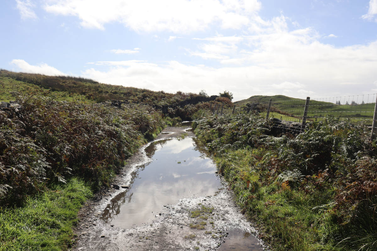
From the summit of Wansfell Pike, we headed east towards Troutbeck, along a comparatively gentle stone path that gradually descends though wide open landscape with some boggy patches, though the path had enough stones to keep dry. Large swathes of the eastern flank of Wansfell Pike are covered with very young trees, presumably planted in recent years, so I expect this landscape will look very different in a decade or two. Leaving behind the young trees, the track turns left onto Nanny Lane, which is a well maintained track that follows a fairly straight path down the hillside, save for a couple of hard angles.
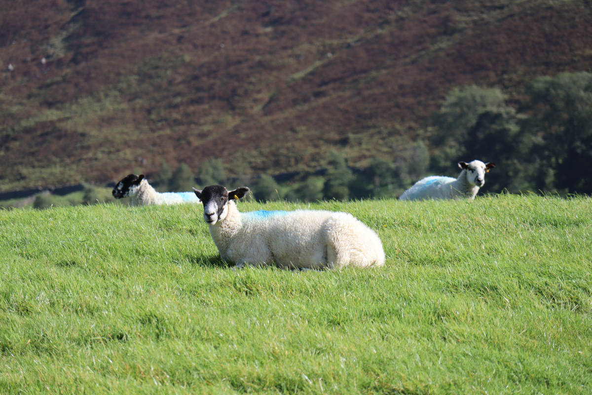
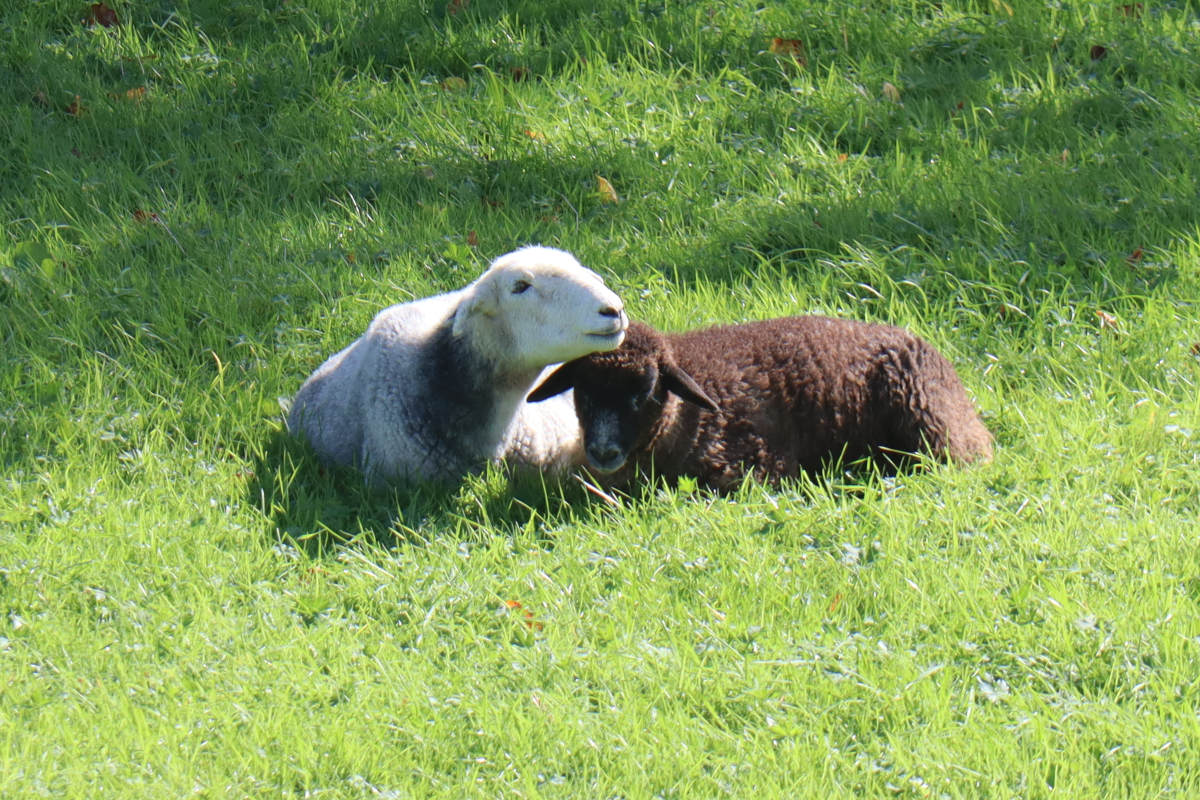
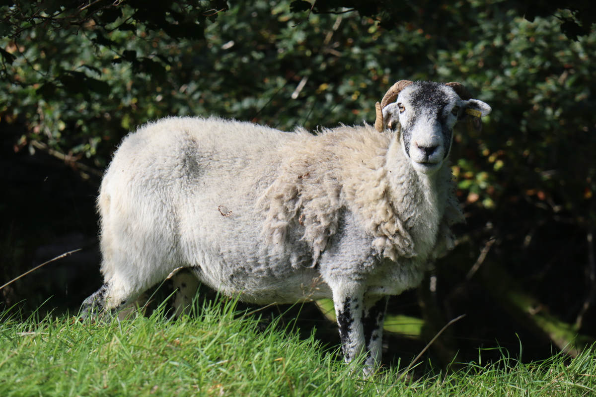
As Nanny Lane came to an end, we passed through Lane Foot Farm, then followed a mixture of tracks and footpaths through the bottom of the valley and past some sheep fields. For a few meters we had to walk on the verge of the A592, and then cut through the middle of Limefitt Holiday Park, before beginning the ascent on the other side.
Ascent to Dubbs Road §
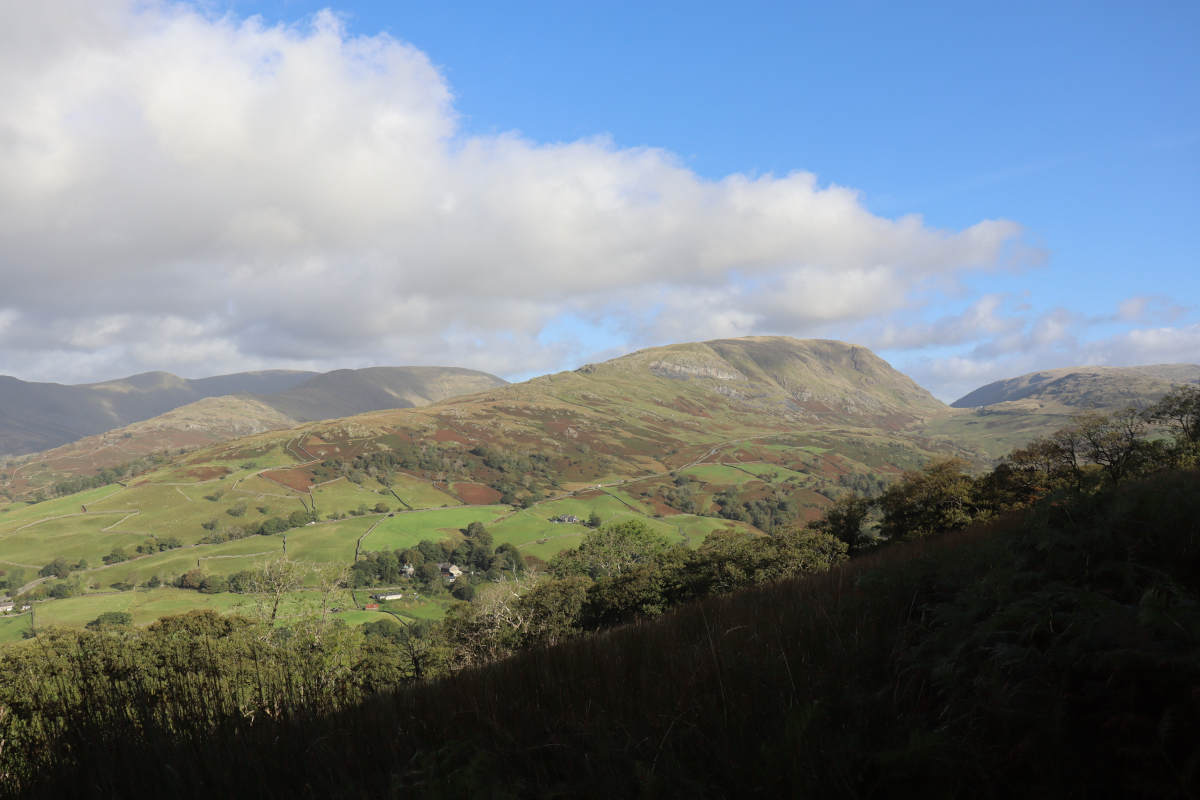
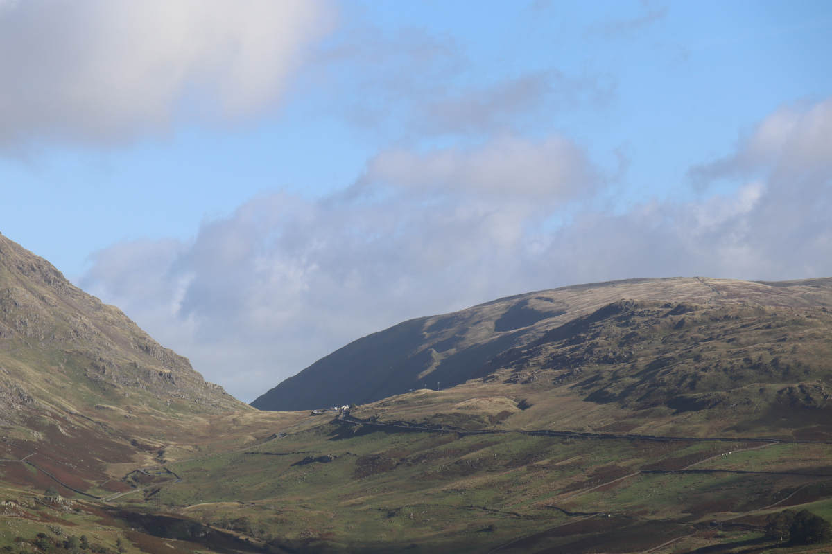
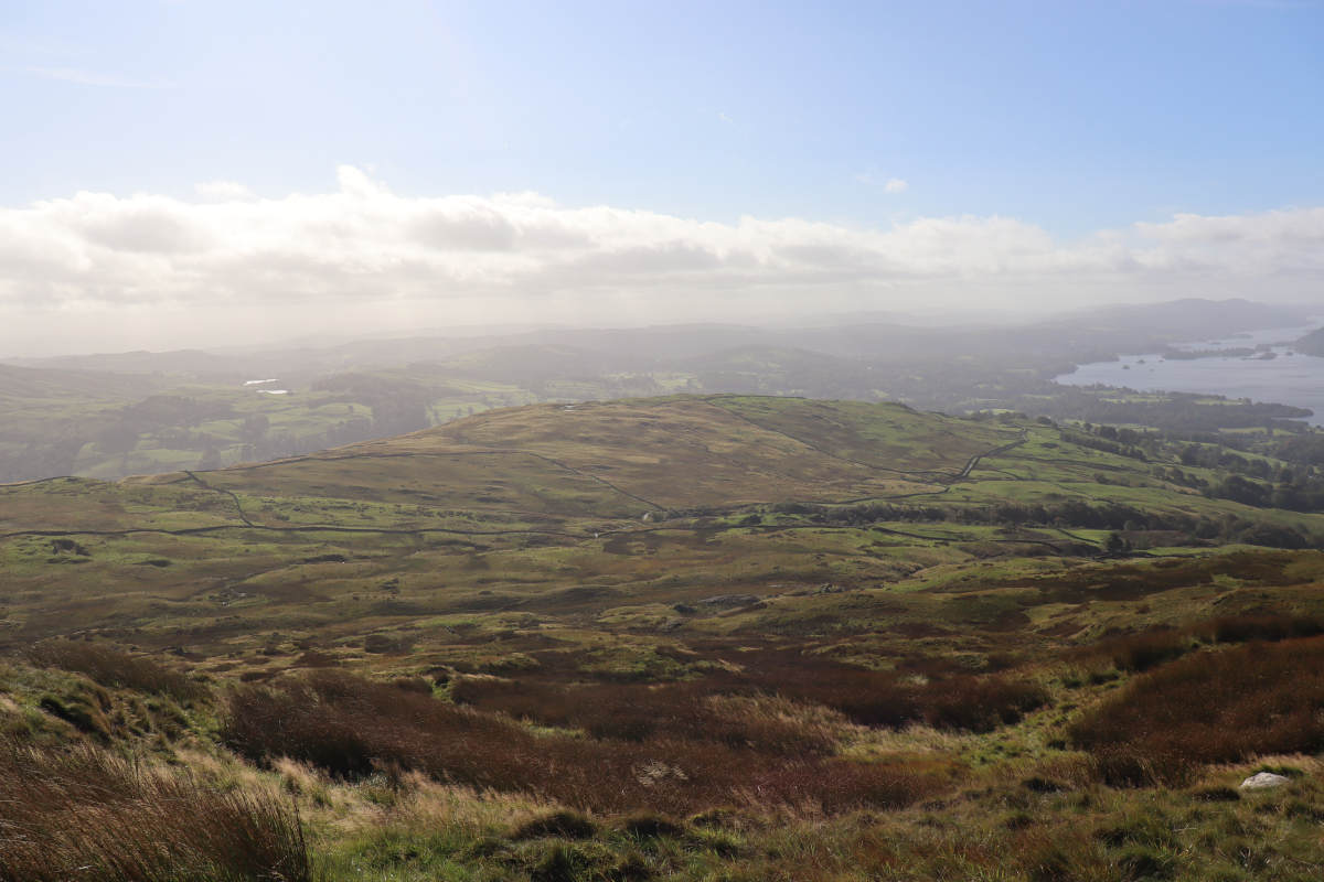
Ascending up to Dubbs Road, the path follows some wide zig-zags, going past many more sheep fields. There are grand views back across the valley towards Wansfell Pike.
Dubbs Road §
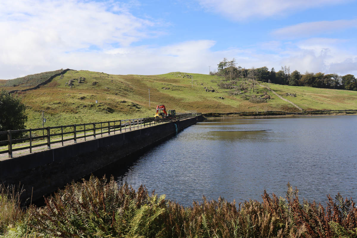
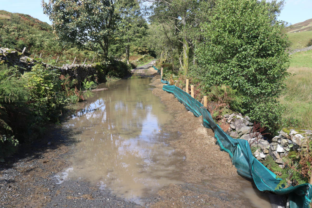
Dubbs Road was flat and easy-going, aside from the numerous sizable puddles. Most we could avoid by just carefully walking around the edge, but just after Dubbs Reservoir was a huge puddle that spanned the entire road. A series of hay bales were placed to one side. It was unclear if these were placed intentionally to provided a walkway above the water level, but evidently others had already used them as such. Some of the hay was so waterlogged that it felt like a bog, but we were able to make it across without incident.
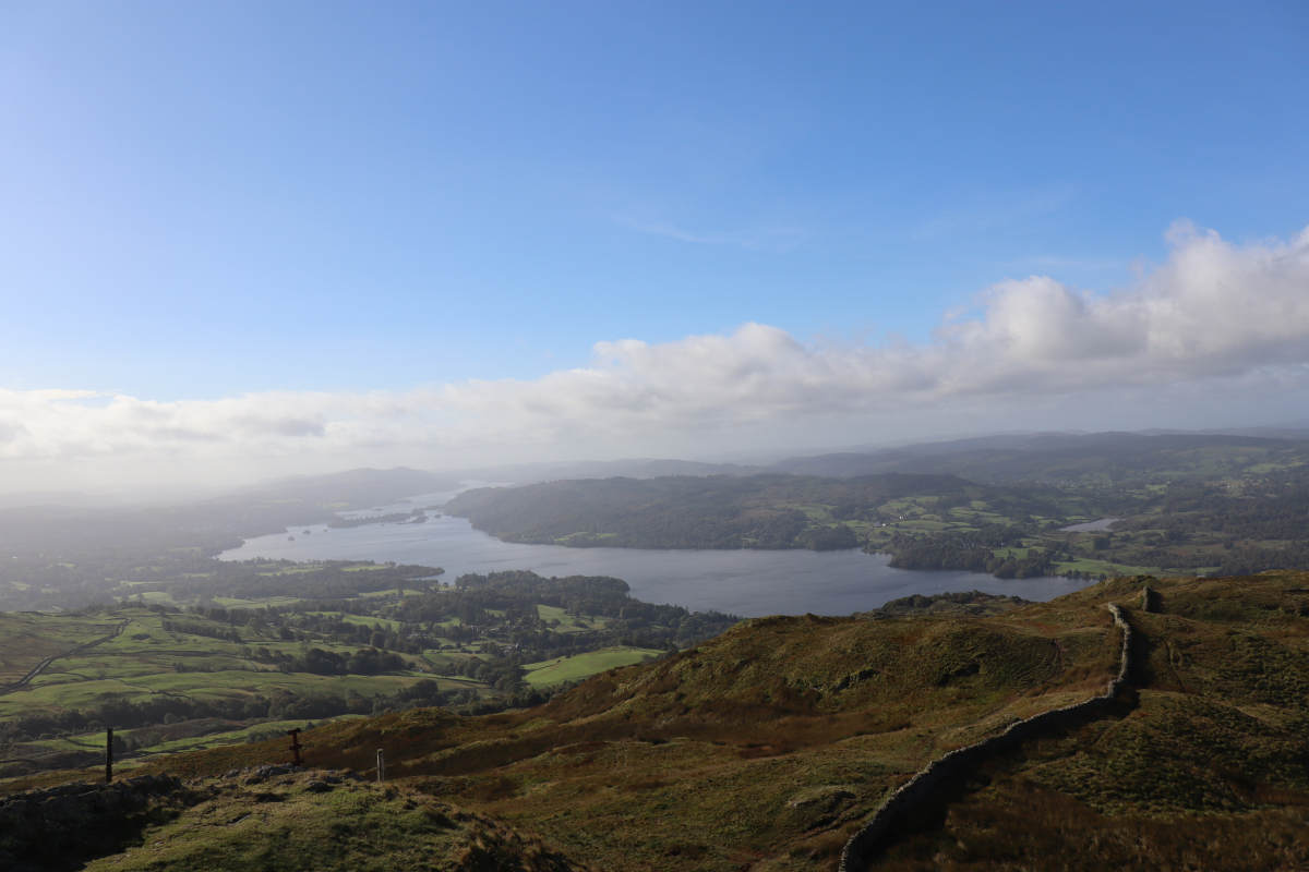
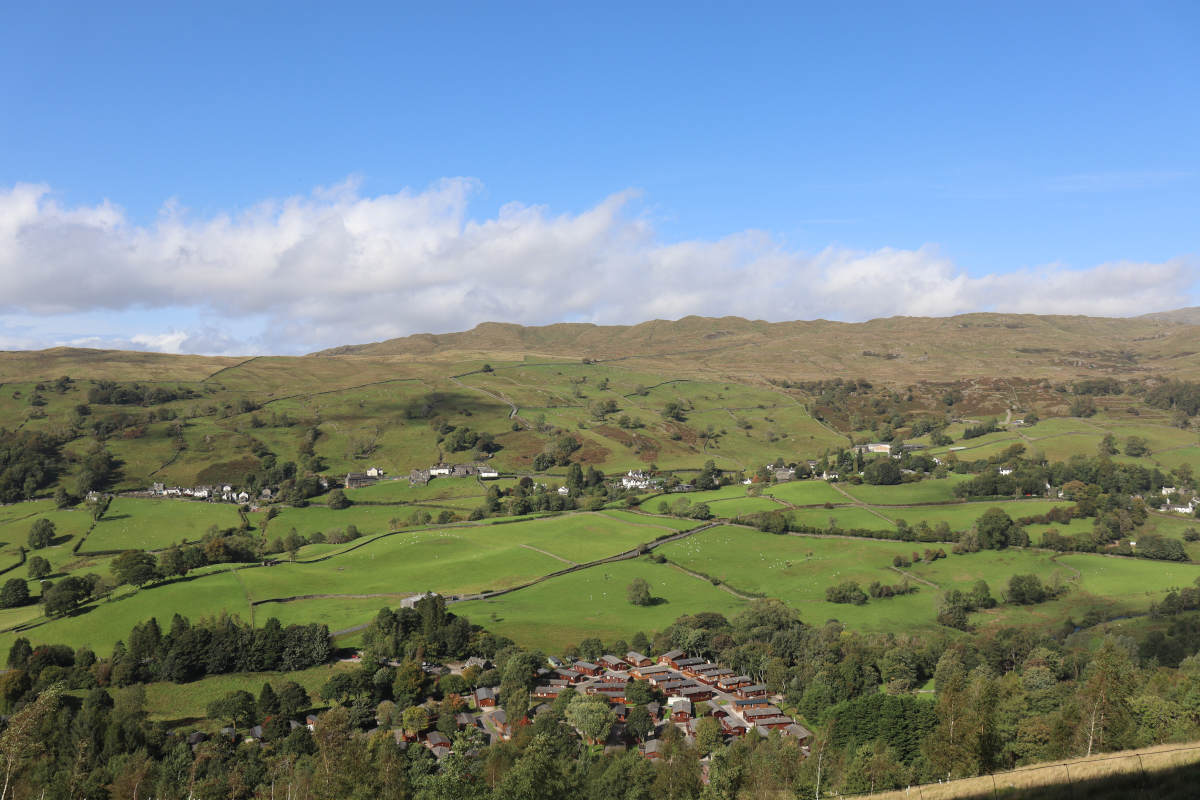
Orrest Head §
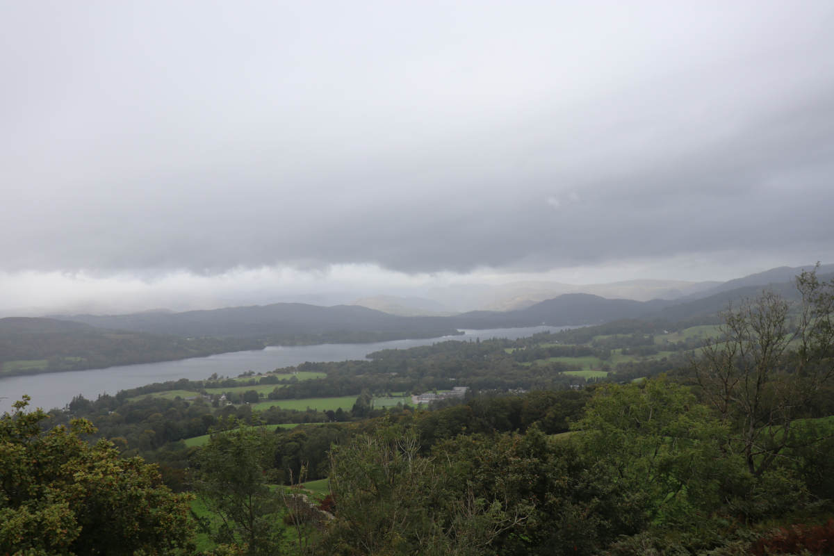
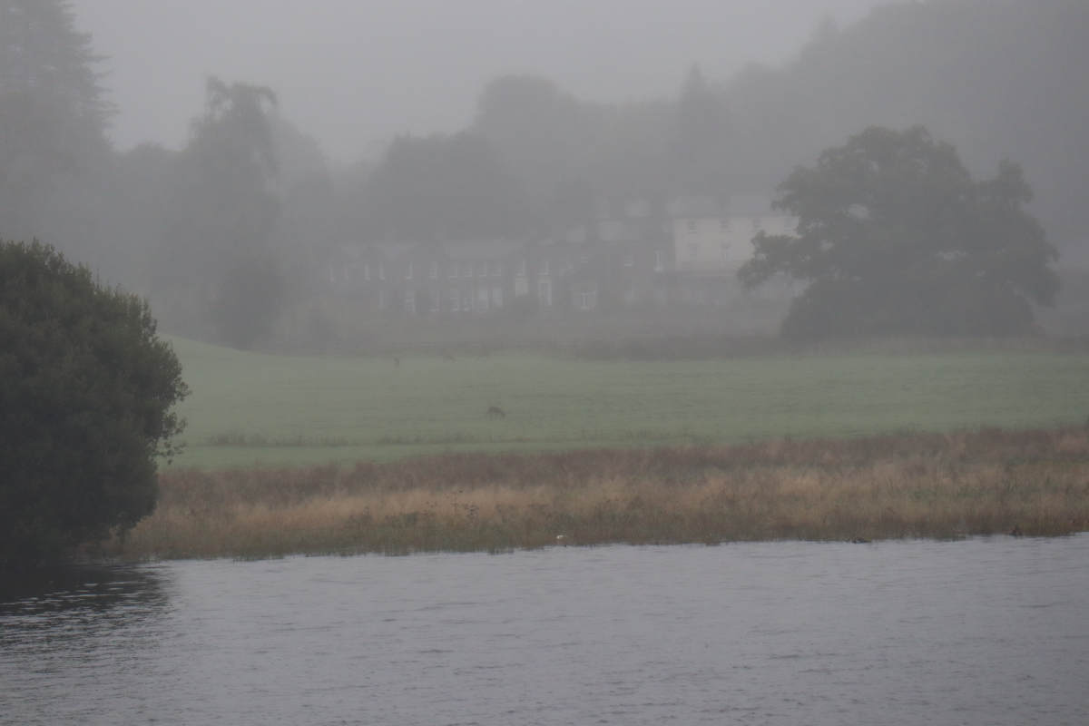
Shortly after passing Dubbs Reservoir, as predicated earlier, the sunshine vanished, soon followed by rain. The overcast weather stuck with us for the rest of the day, coming and going, but upon each return getting heavier. I did not take many more photos, in part because I was trying to keep the camera from getting too wet. The small spur on the map is from where we had to turn around because the footpath is closed to the public (and has been since 2007). We eventually reached Orreset Head, which has expansive views across Windermere that I failed to capture well.
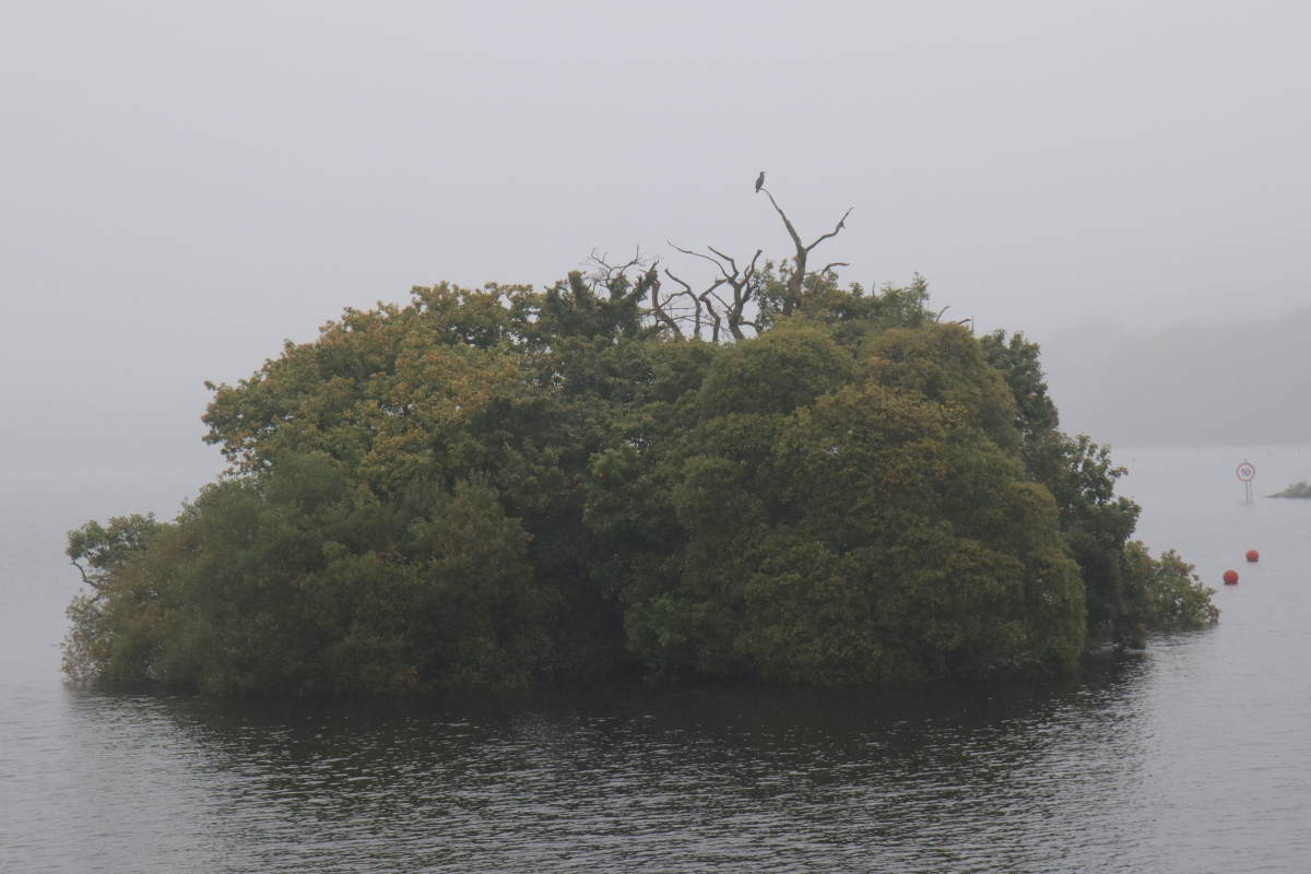
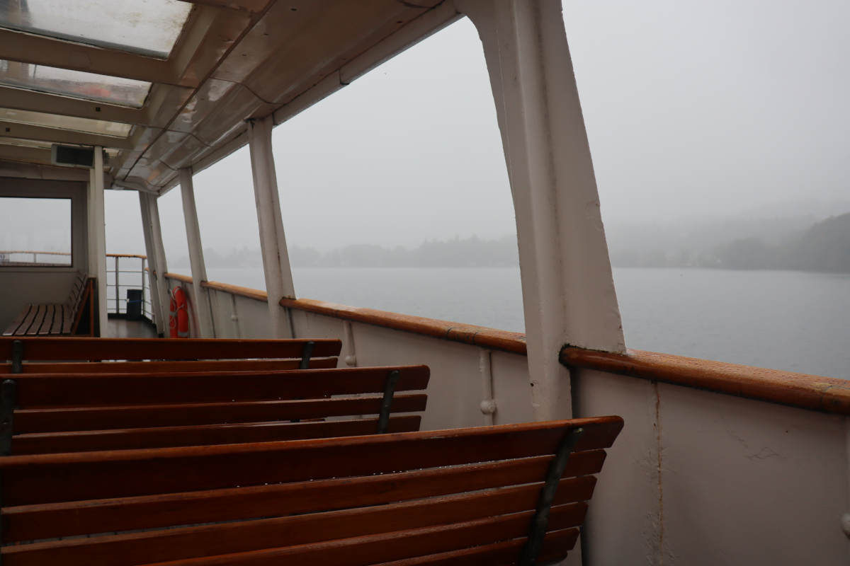
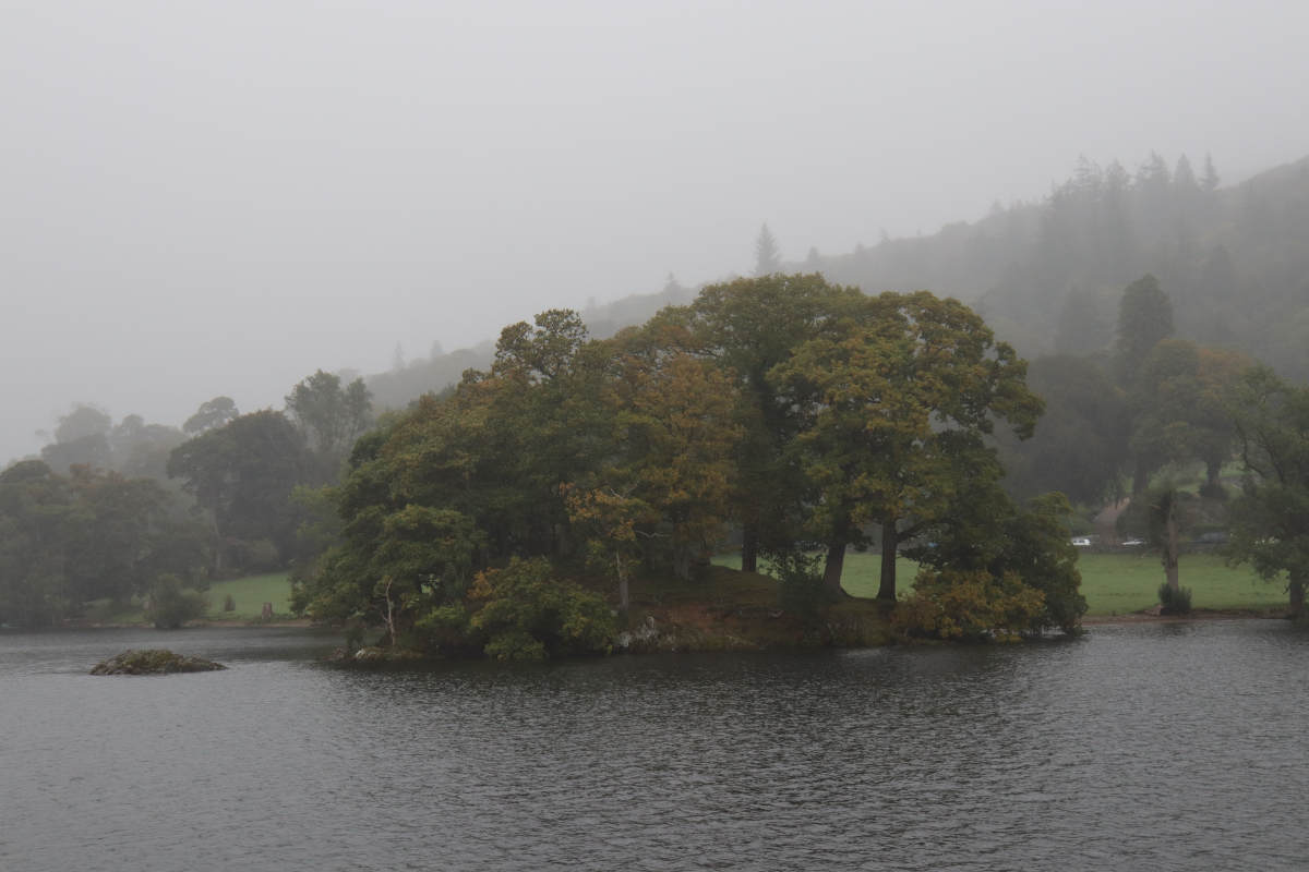
Ferry from Bowness to Ambleside §
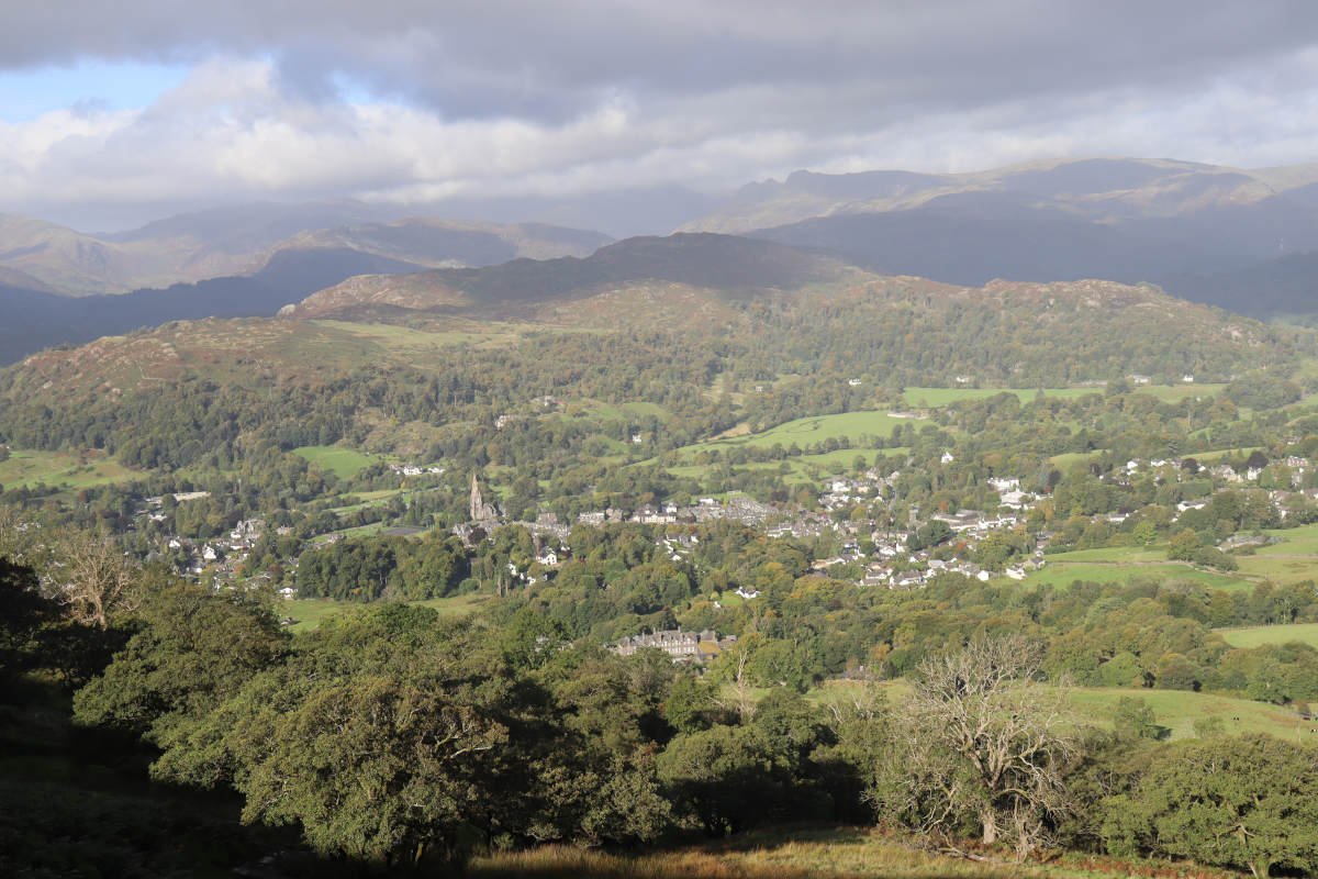
Upon reaching Orrest Head we were back at civilisation. Despite the gloomy weather, many people had made the mile walk up from Windermere town. We followed the smooth gravel path that winds down towards town, then continued on along the main road to the waterfront at Bowness-on-Windermere. We arrived about ten minutes before the next ferry back to Ambleside, so hopped on board for the return journey.
From Waterhead (the lakeside town that blends into Ambleside), we walked along the A591 into Ambleside and back up the hill to our cottage. The rain was in for the rest of the day, but we completed the loop, having made it most of the way there in good weather. The guidebook that inspired this hike did it the other way around (walking from Windermere to Ambleside), but we opted to begin at Ambleside, where our cottage was, to make the most of the good weather forecast for the morning.
In hindsight, I think doing the route from Ambleside to Windermere (as we did) is the better way around. You get the most challenging part out the way first (ascending Wansfell Pike), and then when you descend into Troutback and ascend again, it doesn’t feel like you’ve lost too much elevation. Though I’m sure it’s a very pleasant walk either way around.
All trips at this location:
- Stock Ghyll Force Loop
- Grasmere and Rydal Water Loop via Rydal Cave
- Aira Force Squirrel Hunt
- Cat Bells
- Ambleside to Windermere