Skyline Lake Snowshoe
Summary §
The ascent on this showshoe hike is relentless, but the views are spectacular, especially if you push past the lake a bit further on up to the “rock garden”.
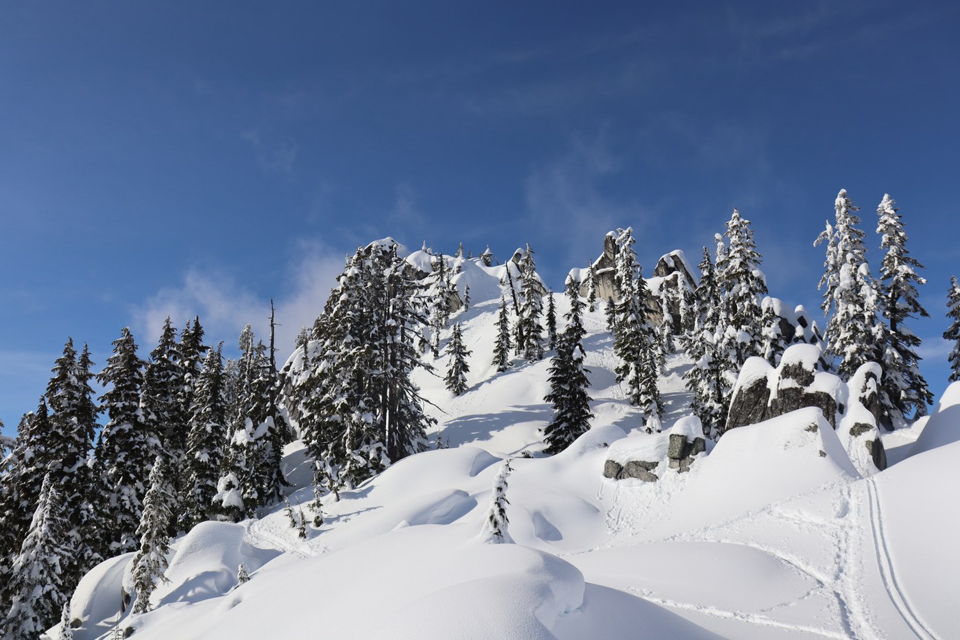
We saw many people hiking using microspokes/yaktrax rather than snowshoes, and they were able to reach the lake but no further. The snow up to the rock garden is very deep, the forest is dense, and there is no clear trail. But once you reach the top there are fantastic snow covered boulders, and sweeping views across the valley.
This appears to be a very popular hike, as the trail was packed the whole way up to the lake. However, both the lake and rock garden made for great stopping points, with space to get away from the crowds.
Details §
| Distance | 14.71 km / 9.14 miles |
|---|---|
| Elevation gain | 403 m / 1322 ft |
| Duration | 5h |
| Moving | 1h30m |
Trip Report §
Arrived at 9:30am on Saturday, and was fortunate to get one of the last spaces in the north parking lot. The trailhead is seemingly unmarked but easily found given how worn the snow is, and the ascent begins immediately, with no respite until the lake.
The route to Skyline Lake was fairly busy, with a mixture of snowshoers, hikers (with microspikes/yaktrax) and backcountry skiers. There were also several groups of people sledding on the lower portion of the trail, both on our way up and down.
Note that it is easy to miss the turn off from the road to the lake. There is no sign, and compared to the little trail through the dense trees, the road does look rather appealing.
The snow on the trail itself was quite compact all the way to the lake, though we were glad to have snowshoes, and used them the entire time. However, from the lake on to the rock garden is a different story! The trail is much less compacted, quite soft and powdery, and there are signs of serious post-holing.
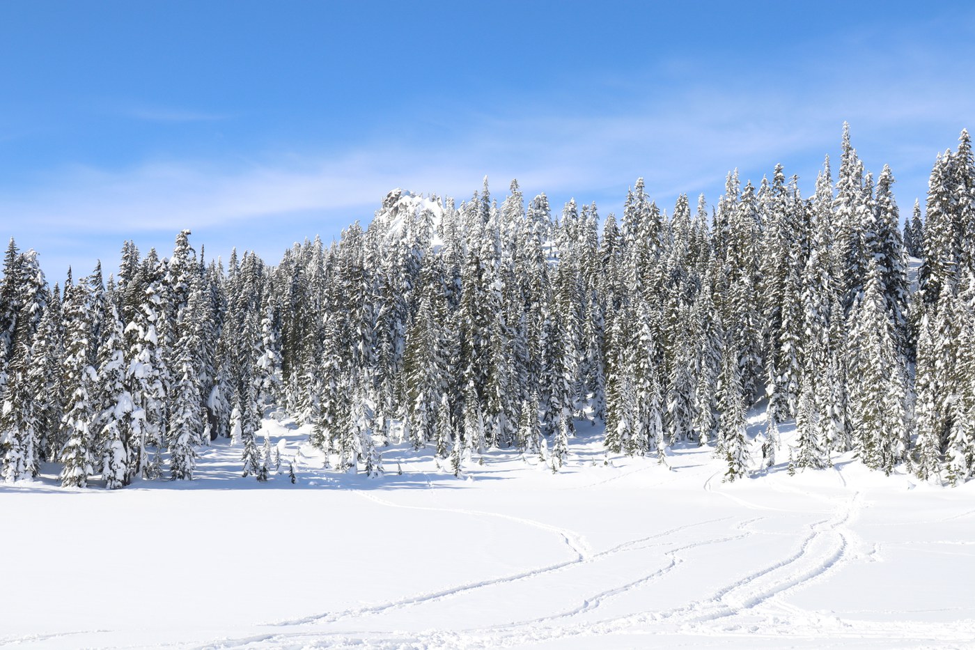
It is possible to do a loop trail from the lake to the rock garden and back. We went counter-clockwise, starting from the north-west “shore” of the lake (which is frozen and snow covered), then heading west and winding through the trees until the rocks are in sight. While ascending, there is a ridge a stone’s throw away to the south, which has a trail on that leads back to the lake. We used that for the return journey.
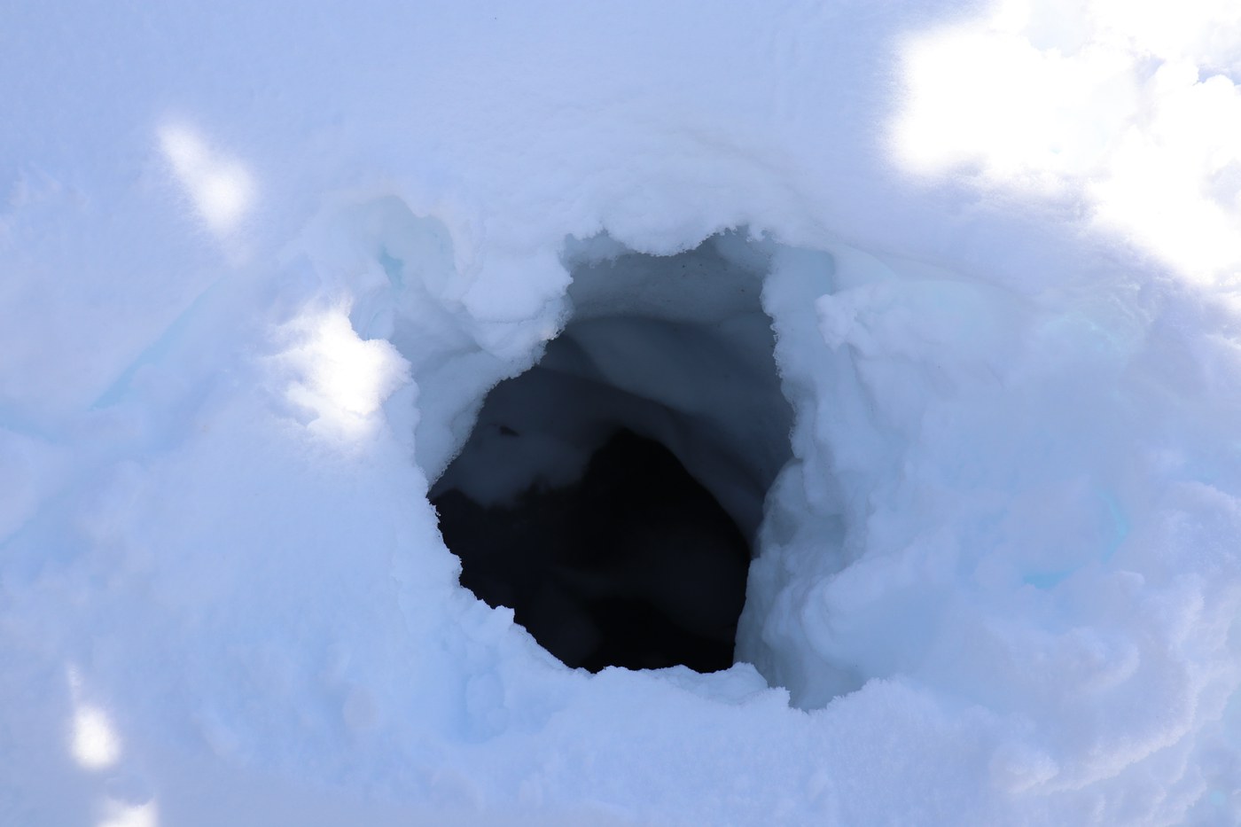
The rock garden was well worth the extra effort, though do beware of cavities. In particular, during our counter-clockwise ascent, there was one particularly large and deep hole, big enough to potentially swallow a person (see photo).
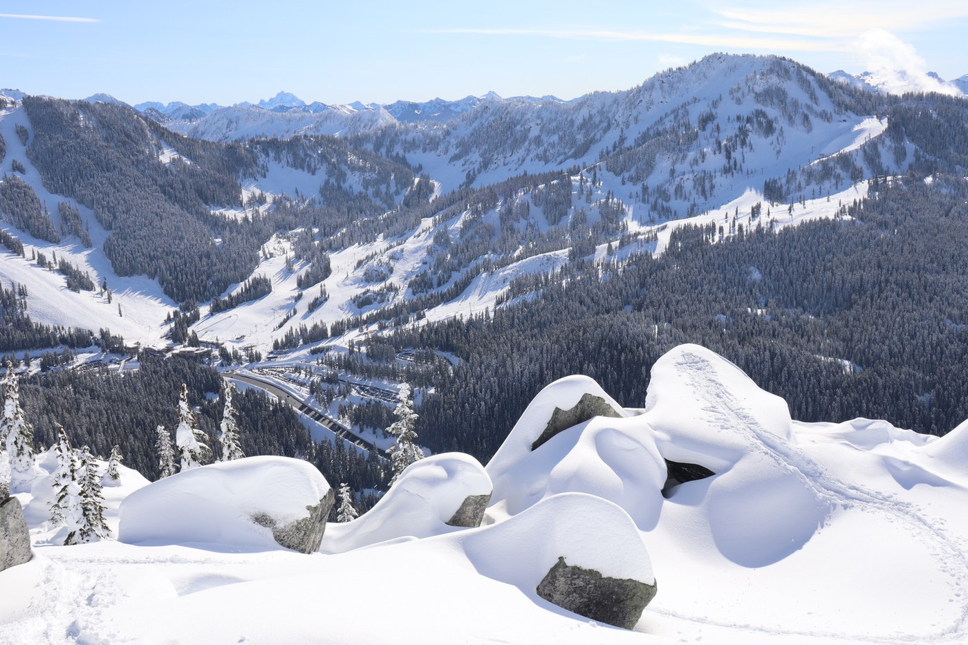
With the perfect weather today, the view from the rock garden was spectacular, with snow-capped peaks as far as the eye could see. The rocks themselves looked particularly scenic draped in blankets of snow. The nearby Heather Ridge, which overlooks the rock garden from directly to the west, makes for a great backdrop.
We were back at the trailhead by 2:30pm, even though we spent 90 minutes at the rock garden (midday to 1:30pm), and took the ascent at a very gentle pace. In total we covered 3.14 miles (π!), and ascended 1,322ft. Definitely worth the effort though!