Pratt Connector to Pratt River Trail
| Distance | 6.71 km / 4.17 miles |
|---|---|
| Elevation gain | 100 m / 327 ft |
| Duration | 2h30m |
| Moving | 1h45m |
A short New Year’s Day hike.
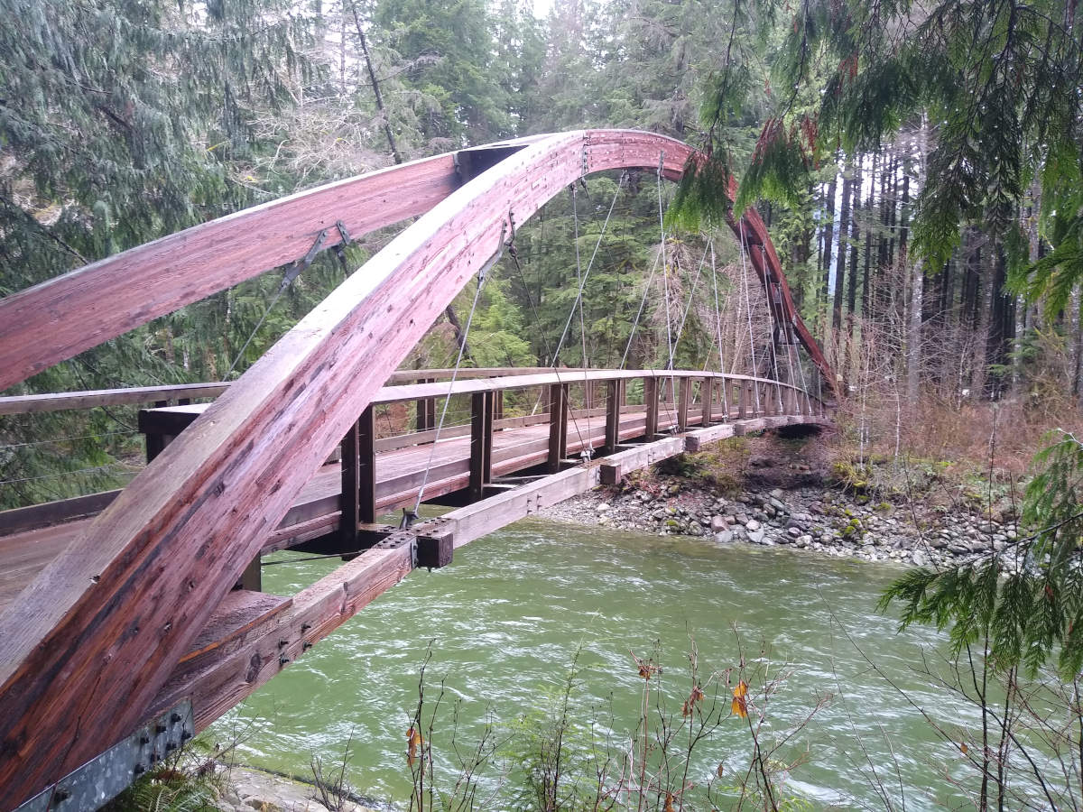
We began at the last paved car park before Middle Fork Road turns to gravel, and used the footbridge to cross over Middle Fork Snoqualmie River.
Other WTA trip reports had mentioned that the left path (heading east) was closed due to a landslide, so we took the right path (heading south-west).
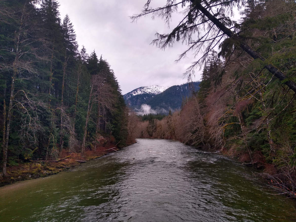
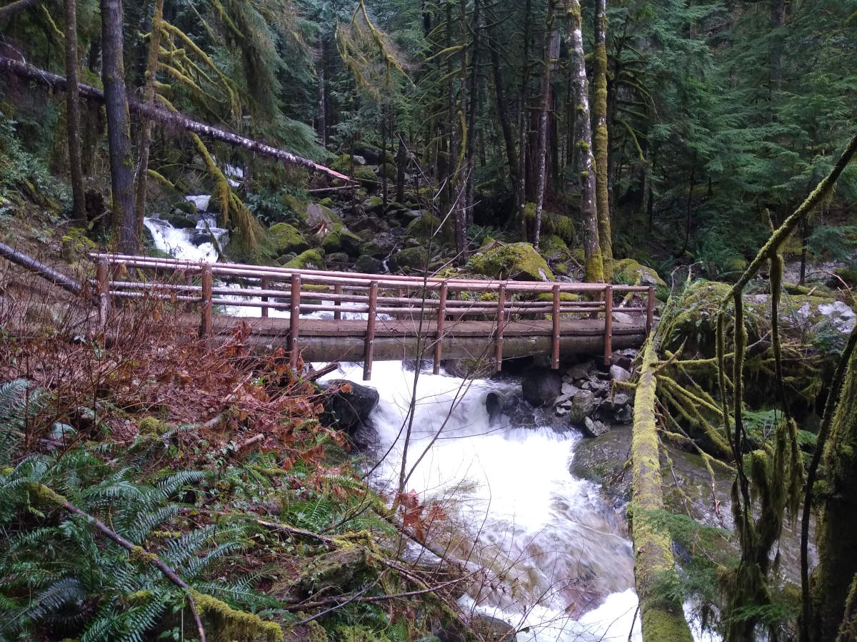
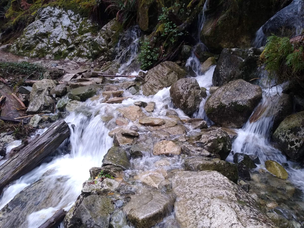
While not too wet at the start of the hike, it had been raining a lot recently, so the water levels were quite high. In fact, the trail itself was essentially a river with stepping stones down the middle in varying states of submersion.
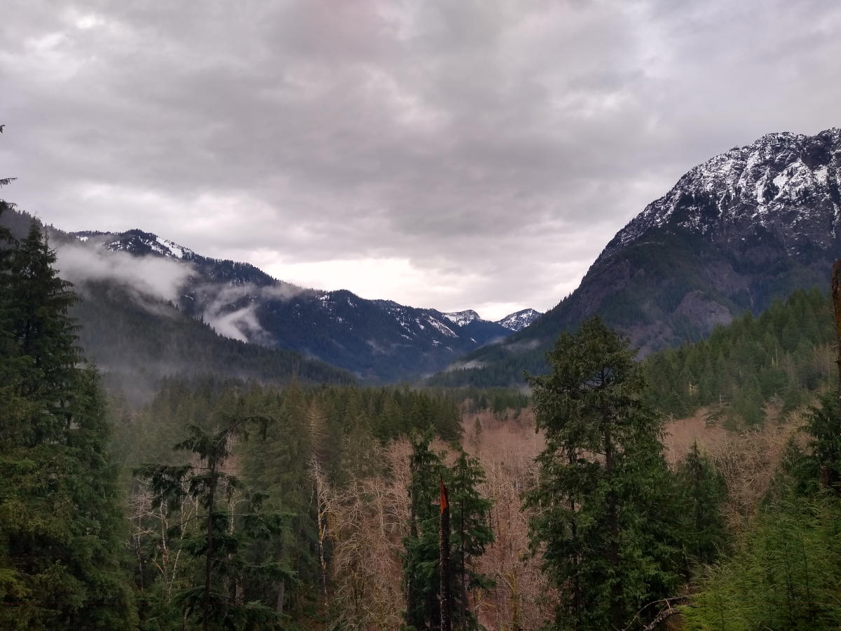
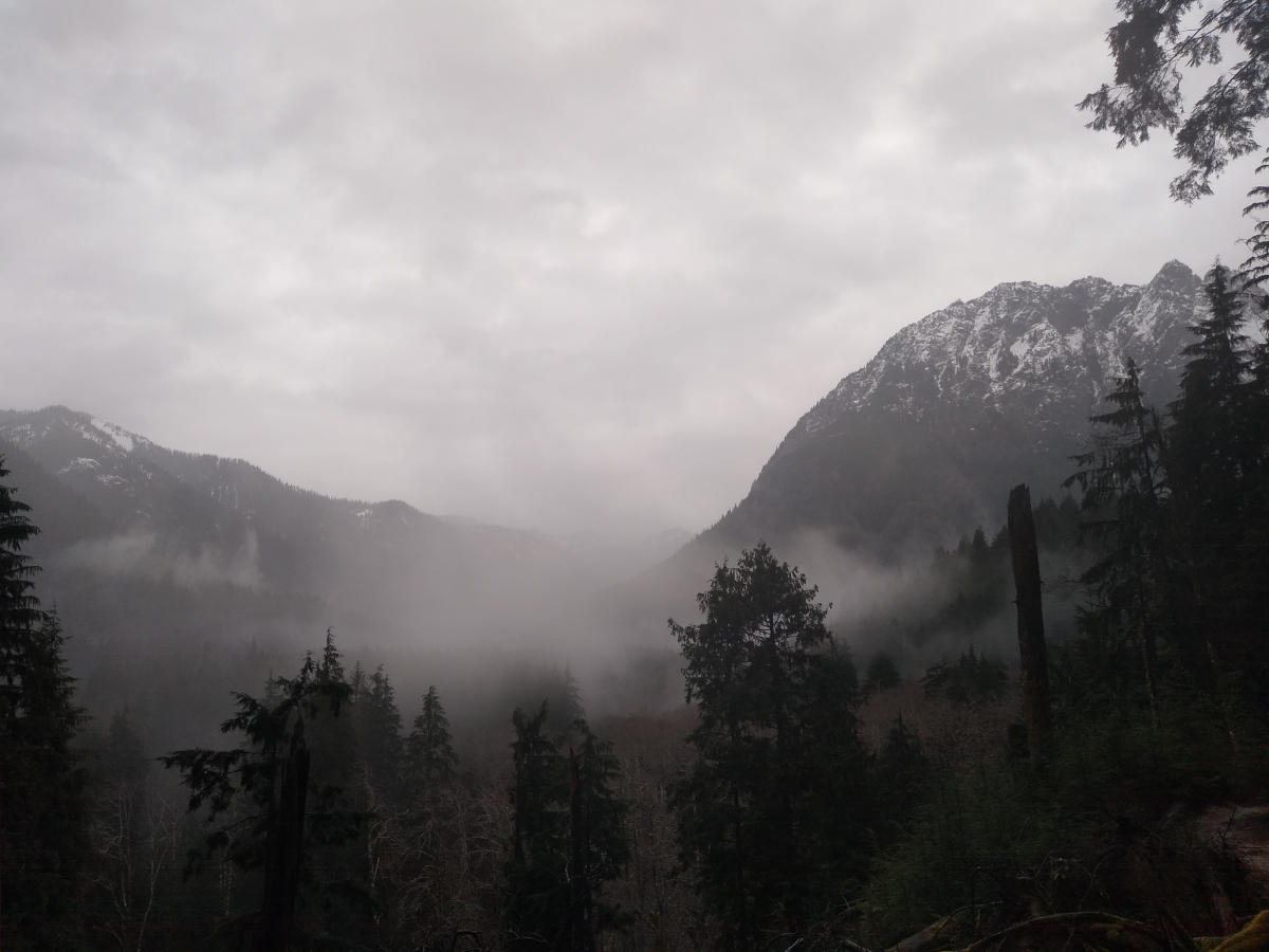
Near the high point of the trail there was a good view looking north-east up the valley. On the way out the view was quite clear, but as we carried on the rain got heavier, and eventually we decided to turn back. Less than an hour later (59 minutes to be precise), I took a photo at the same spot.